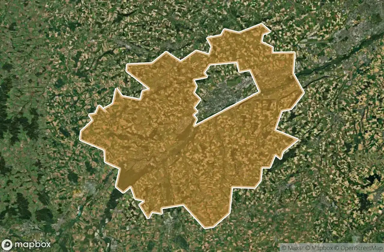
Mappa Urbex Wels Land
21 luoghi abbandonati a Wels Land
21
luoghi
Pagamento unico - accesso a vita
Pagamento 100% sicuro
Connessione SSL crittografata · Nessun dato bancario memorizzato
Aggiornamenti a vita
Temi inclusi in questo pacchetto
- Bunker
- Militare
- Rovine
Tutti i luoghi abbandonati di Wels Land
21 coordinate GPS verificate nel dipartimento di Wels Land, Oberosterreich, Austria.
Cerchi luoghi abbandonati a Wels Land, Oberosterreich, Austria? Urbex Maps offre 21 coordinate GPS verificate di edifici abbandonati in questa zona, tra cui Bunker, Militare, Rovine.
21
spot verificati
GPS
Google Maps, Waze
giugno 2026
ultimo aggiornamento
Dove trovare luoghi abbandonati a Wels Land?
I luoghi abbandonati a Wels Land si trovano tramite la mappa urbex interattiva di Urbex Maps con 21 coordinate GPS verificate. Le categorie principali sono Bunker, Militare, Rovine.
Tipi di luoghi abbandonati a Wels Land
- Bunker
- Militare
- Rovine
Spots a Wels Land

Hetzendorf, Weißkirchen an der Traun

Marchtrenk

Secrets of the Crimson Grange

Shadows Beneath the Emerald Veil

Shadows of the Crimson Grange

Shadows of the Crimson Grange

Shadows of the Strangled Estate

Stadl-Paura

The Broken Crown of Industry

The Hollow Heart of Harvest

The Hollow Heart of Harvest

The Imported Geometric Void

The Labyrinth of Verdant Shadows

The Sentinel of the Silent Rail

The Shrouded Industrial Monolith

The Silent Gables of Crimson Rise

The Silent Grip of Verdant Lane

Threshold of the Vanished Sky

Where the Furrows End

Whispers of the Forgotten Junction

Whispers of the Tangled Hearth