Gwynedd
Mappa Urbex Dorothea Quarry, Talysarn
GwyneddWalesRegno Unito
Aggiornamenti a vita
Dorothea Quarry, Talysarn - Coordonnées GPS Urbex
Obtenez la coordonnée GPS exacte de ce lieu abandonné situé dans le département Gwynedd (Wales, Regno Unito). Spot urbex vérifié et géolocalisé.
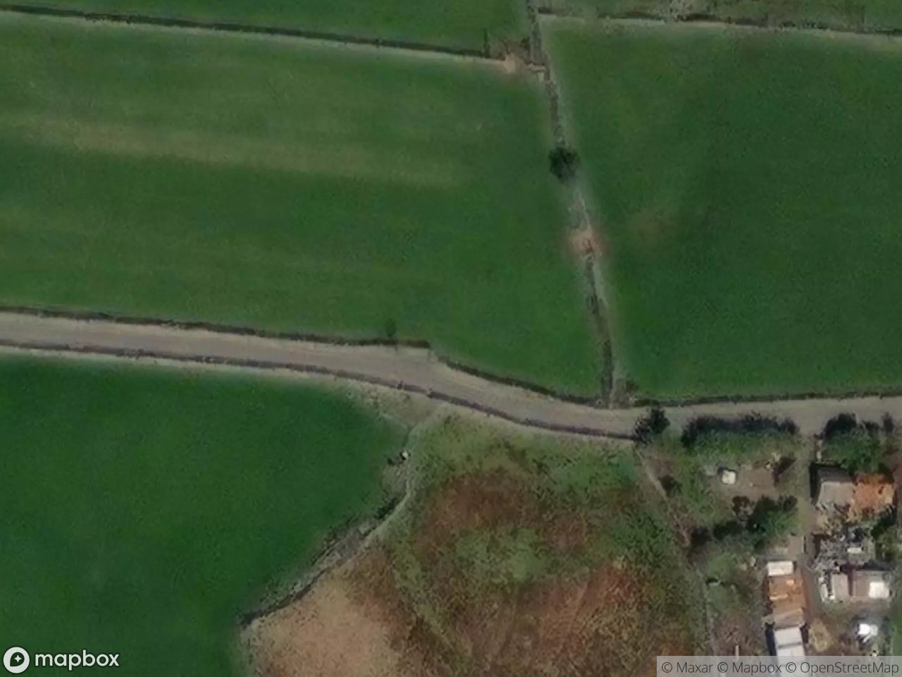
Former slate quarry in the Nantlle Valley, closed 1970, now flooded with a listed Cornish beam engine house.
0,90EUR
Paiement unique - accès à vie
Pagamento 100% sicuro
AMEX
Google Pay
stripe
Connessione SSL crittografata · Nessun dato bancario memorizzato
Ce qui est inclus
- Coordonnée GPS exacte
- Photo satellite du spot
- Accès immédiat après achat
Questo luogo appare in questi articoli

Cosa dicono i nostri articoli su questo luogo
The quarry closed in 1970 and was never redeveloped. The pumps stopped, and the deep pits filled with water to form the black lakes that define the site today, surrounded by ruined buildings, inclines and the Grade I listed engine house. The wider slate landscape of north-west Wales became a UNESCO World Heritage Si…Leggi l'articolo : Abandoned Places in the UK: Top 10 Urbex 2026 →