मेनू
New South Wales

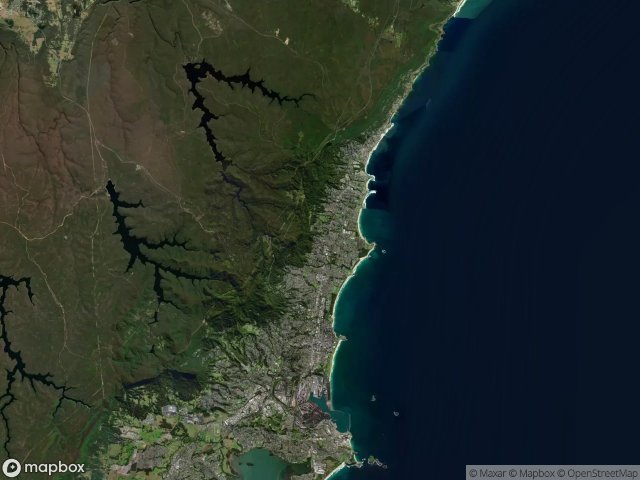
Urbex मानचित्र Wollongong

21 परित्यक्त स्थान: Wollongong

Wollongong अर्बेक्स मैप

21

स्थान

4,90 €

एकमुश्त भुगतान - आजीवन पहुंच

100% सुरक्षित भुगतान

AMEX
Pay
Google Pay
PayPal
stripe

SSL एन्क्रिप्टेड कनेक्शन · कोई बैंकिंग डेटा संग्रहीत नहीं

आजीवन अपडेट

इस पैक में शामिल विषय

  • बंकर
  • सैन्य
  • खंडहर

सभी परित्यक्त स्थान: Wollongong

21 सत्यापित GPS निर्देशांक विभाग में Wollongong, New South Wales, ऑस्ट्रेलिया.

Vous cherchez des lieux abandonnes a Wollongong, New South Wales, ऑस्ट्रेलिया ? Urbex Maps propose 21 coordonnees GPS verifiees de batiments abandonnes dans cette zone, dont बंकर, सैन्य, खंडहर.

  • 21

    spots verifies

  • GPS

    Google Maps, Waze

  • जून 2026

    derniere mise a jour

Ou trouver des lieux abandonnes a Wollongong ?

Les lieux abandonnes a Wollongong se trouvent le mieux via la carte urbex interactive de Urbex Maps avec 21 coordonnees GPS verifiees. Les categories principales sont बंकर, सैन्य, खंडहर.

Types de lieux abandonnes a Wollongong

  • बंकर
  • सैन्य
  • खंडहर

स्पॉट: Wollongong

Chellow Dene Avenue, Wollongong City Council

Chellow Dene Avenue, Wollongong City Council

0,90 €
Climber's Path, Wollongong City Council

Climber's Path, Wollongong City Council

0,90 €
Coronet Place, Dapto

Coronet Place, Dapto

0,90 €
Crown Street, Wollongong City Council

Crown Street, Wollongong City Council

0,90 €
Dovers Drive, Wollongong City Council

Dovers Drive, Wollongong City Council

0,90 €
Garrawarra Centre, Helensburgh

Garrawarra Centre, Helensburgh

0,90 €
Grand Pacific Walk, Wollongong City Council

Grand Pacific Walk, Wollongong City Council

0,90 €
Grand Pacific Walk, Wollongong City Council

Grand Pacific Walk, Wollongong City Council

0,90 €
Lawrence Hargrave Drive, Wollongong City Council

Lawrence Hargrave Drive, Wollongong City Council

0,90 €
Mt Kembla Ring Track, Wollongong City Council

Mt Kembla Ring Track, Wollongong City Council

0,90 €
Mt Nebo Bunker, Wollongong City Council

Mt Nebo Bunker, Wollongong City Council

0,90 €
Murranar Road, Wollongong City Council

Murranar Road, Wollongong City Council

0,90 €
Princes Highway, Wollongong City Council

Princes Highway, Wollongong City Council

0,90 €
Tasman Parade, Wollongong City Council

Tasman Parade, Wollongong City Council

0,90 €
The Geometry of Silence

The Geometry of Silence

0,90 €
The Latent Coordinate

The Latent Coordinate

0,90 €
The Latent Geometry

The Latent Geometry

0,90 €
The Stella, Wollongong City Council

The Stella, Wollongong City Council

0,90 €
Tunnel Road, Helensburgh

Tunnel Road, Helensburgh

0,90 €
West Dapto Road, Wollongong City Council

West Dapto Road, Wollongong City Council

0,90 €
Wollongong City Council

Wollongong City Council

0,90 €

Urbex FAQ for Wollongong, ऑस्ट्रेलिया

Is urban exploration legal in Wollongong, ऑस्ट्रेलिया?+
Urbex is generally tolerated in Wollongong, ऑस्ट्रेलिया as long as you don't damage anything and don't enter actively guarded property. Respect "private property" and "no trespassing" signs. Never break a lock or window.
What types of abandoned places can I find in Wollongong, ऑस्ट्रेलिया?+
Wollongong, ऑस्ट्रेलिया has 21 geolocated spots across multiple categories: abandoned castles, industrial wastelands, hospitals, military bunkers, mines, railway stations, churches and ghost villages.
How do I use the GPS coordinates I've purchased?+
After purchase, log into your account to view the GPS coordinates. Copy-paste into Google Maps, Apple Maps or Waze. Export to KMZ or GPX. Lifetime access, no subscription.
How many abandoned places are listed in Wollongong, ऑस्ट्रेलिया?+
Wollongong, ऑस्ट्रेलिया has 21 geolocated abandoned places with exact GPS coordinates across 1 regions.
What's the best season for exploring in Wollongong, ऑस्ट्रेलिया?+
Spring (April-May) and autumn (September-October) are ideal: golden light, mild temperatures, less invasive vegetation.