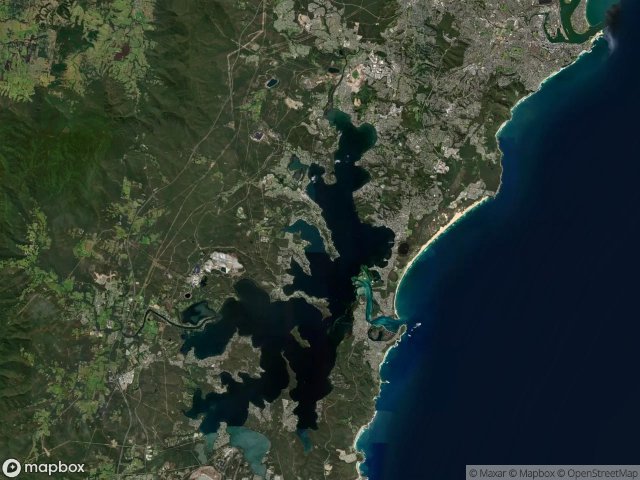
Urbex मानचित्र Lake Macquarie
12 परित्यक्त स्थान: Lake Macquarie
12
स्थान
एकमुश्त भुगतान - आजीवन पहुंच
100% सुरक्षित भुगतान
SSL एन्क्रिप्टेड कनेक्शन · कोई बैंकिंग डेटा संग्रहीत नहीं
आजीवन अपडेट
सभी परित्यक्त स्थान: Lake Macquarie
12 सत्यापित GPS निर्देशांक विभाग में Lake Macquarie, New South Wales, ऑस्ट्रेलिया.
Vous cherchez des lieux abandonnes a Lake Macquarie, New South Wales, ऑस्ट्रेलिया ? Urbex Maps propose 12 coordonnees GPS verifiees de batiments abandonnes dans cette zone, dont .
12
spots verifies
GPS
Google Maps, Waze
जून 2026
derniere mise a jour
Ou trouver des lieux abandonnes a Lake Macquarie ?
Les lieux abandonnes a Lake Macquarie se trouvent le mieux via la carte urbex interactive de Urbex Maps avec 12 coordonnees GPS verifiees. Les categories principales sont .
स्पॉट: Lake Macquarie

Burwood Colliery access, Newcastle-Maitland

Burwood Road, Newcastle-Maitland

Colleen Lane, City of Lake Macquarie

Fernleigh Track, Newcastle-Maitland

Heaton Street, Newcastle-Maitland

Hindmarsh Street, Newcastle-Maitland

Kingfisher Shores

Pit

Saddlers Way, City of Lake Macquarie

Southern Headland Trail, City of Lake Macquarie

The Greenway Track, Newcastle-Maitland

Wangi Road, Rathmines