Urbex मानचित्र Durham
46 परित्यक्त स्थान: Durham
46
स्थान
एकमुश्त भुगतान - आजीवन पहुंच
100% सुरक्षित भुगतान
SSL एन्क्रिप्टेड कनेक्शन · कोई बैंकिंग डेटा संग्रहीत नहीं
आजीवन अपडेट
सभी परित्यक्त स्थान: Durham
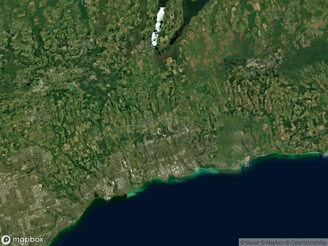
46 सत्यापित GPS निर्देशांक विभाग में Durham, Ontario, कनाडा.
Vous cherchez des lieux abandonnes a Durham, Ontario, कनाडा ? Urbex Maps propose 46 coordonnees GPS verifiees de batiments abandonnes dans cette zone, dont .
46
spots verifies
GPS
Google Maps, Waze
जून 2026
derniere mise a jour
Ou trouver des lieux abandonnes a Durham ?
Les lieux abandonnes a Durham se trouvent le mieux via la carte urbex interactive de Urbex Maps avec 46 coordonnees GPS verifiees. Les categories principales sont .
स्पॉट: Durham

9th Concession Road, Pickering

A Vector Into Silence

Belford, Pickering

Bowmanville POW camp, Bowmanville

Brougham, Pickering

Brown Street, Bowmanville

Central, Oshawa

Concession Road 3, Newcastle

Concession Road 5, Clarington

Concession Road 5, Orono

Concession Road 6, Uxbridge

Concession Street East, Clarington

Deckers Hill, Pickering

Finch Avenue, Pickering

Island Road, Port Perry

Longsault Road, Clarington

Macedonian Village, Whitby

Manchester, Scugog

Myrtle Station, Whitby

Oshawa

Regional Road 3, Enniskillen

Service Road, Newcastle

Seventh Concession Road, Pickering

Shadows of the Vector

Simcoe Street, Scugog

Stevenson, Whitby

Talbot, Brock

Taplin Drive, Pickering

The Geometry of Echoes

The Geometry of Silence

The Geometry of Silence

The Imported Phantom Grid

The Imported Silence

The Latent Coordinate

The Plotted Void Remains

The Vector's Silent Trace

Traced Within the Metadata

Traces Of A Ghost Map

Traces Within the Grid

Traces of Mapped Silence

Traces of the Grid

Tracing the Ghost Nodes

Vertices of the Void

Victoria Street East, Whitby

West Shore, Pickering

York Durham Line, Uxbridge