Urbex मानचित्र Wirral
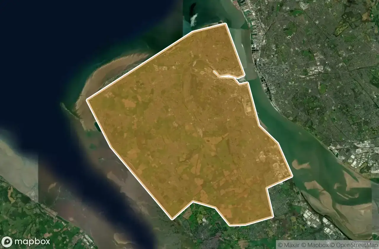
17 परित्यक्त स्थान: Wirral
17
स्थान
एकमुश्त भुगतान - आजीवन पहुंच
100% सुरक्षित भुगतान
SSL एन्क्रिप्टेड कनेक्शन · कोई बैंकिंग डेटा संग्रहीत नहीं
आजीवन अपडेट
इस पैक में शामिल विषय
- खंडहर
सभी परित्यक्त स्थान: Wirral
17 सत्यापित GPS निर्देशांक विभाग में Wirral, England, यूनाइटेड किंगडम.
Vous cherchez des lieux abandonnes a Wirral, England, यूनाइटेड किंगडम ? Urbex Maps propose 17 coordonnees GPS verifiees de batiments abandonnes dans cette zone, dont खंडहर.
17
spots verifies
GPS
Google Maps, Waze
जून 2026
derniere mise a jour
Ou trouver des lieux abandonnes a Wirral ?
Les lieux abandonnes a Wirral se trouvent le mieux via la carte urbex interactive de Urbex Maps avec 17 coordonnees GPS verifiees. Les categories principales sont खंडहर.
Types de lieux abandonnes a Wirral
- खंडहर
स्पॉट: Wirral

Birkenhead Priory, Birkenhead

Carr Bridge Road, Upton

Conway Street, Birkenhead

Dock Road North, New Ferry

Gilbrook School, Upton

HMS Bronington, Wallasey

Hoylake

Moreton

Rake Lane, Wallasey

Riverbank Road, Bromborough

Rock Park Road, Birkenhead

St Alban's Road, Wallasey

The Latent Coordinate

The Moorings, Heswall

Traces Within The Grid

Waterloo Place, Birkenhead

Whispers from the Grid