Urbex मानचित्र Oxfordshire
28 परित्यक्त स्थान: Oxfordshire
28
स्थान
एकमुश्त भुगतान - आजीवन पहुंच
100% सुरक्षित भुगतान
SSL एन्क्रिप्टेड कनेक्शन · कोई बैंकिंग डेटा संग्रहीत नहीं
आजीवन अपडेट
इस पैक में शामिल विषय
- गिरजाघर
- परित्यक्त घर
- बंकर
- खेत
- हवेलियां
- सैन्य
सभी परित्यक्त स्थान: Oxfordshire
28 सत्यापित GPS निर्देशांक विभाग में Oxfordshire, England, यूनाइटेड किंगडम.
Vous cherchez des lieux abandonnes a Oxfordshire, England, यूनाइटेड किंगडम ? Urbex Maps propose 28 coordonnees GPS verifiees de batiments abandonnes dans cette zone, dont गिरजाघर, परित्यक्त घर, बंकर, खेत, हवेलियां, सैन्य.
28
spots verifies
GPS
Google Maps, Waze
जून 2026
derniere mise a jour
Ou trouver des lieux abandonnes a Oxfordshire ?
Les lieux abandonnes a Oxfordshire se trouvent le mieux via la carte urbex interactive de Urbex Maps avec 28 coordonnees GPS verifiees. Les categories principales sont गिरजाघर, परित्यक्त घर, बंकर, खेत, हवेलियां, सैन्य.
Types de lieux abandonnes a Oxfordshire
- गिरजाघर
- परित्यक्त घर
- बंकर
- खेत
- हवेलियां
- सैन्य
स्पॉट: Oxfordshire

Arncott Signal Box

Barrowbush Barn

Boar’s hill RoC outpost

Buckingham Road, Launton

Chapel Lane, Little Bourton

Charlbury

Claydon

Combe Road, Oxford

Cowley

Cowley Road, Oxford
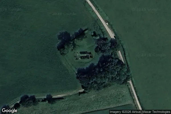
![Dead Spot - College Carmel [GBR]](/api/images/13e2be96c808c265)
Dead Spot - College Carmel [GBR]

Hampton Gay Manor

MT Yard, Launton

MT Yard, Launton

Nuffield House

Old Headgington Hill Hall pool

Pangbourne

Queen's Tower

RAF Mount Farm Air Raid Shelter

Randolph Street Mews

Remains of St Nicholas's College

Rotherfield Peppard
St James Church, Bix Brand

Thorpe Road, Wardington

Wayland's Smithy, Ashbury

Wheatley

Witney

Yarnton Sewage Works