Carte Urbex Fort Bend
94 lieux abandonnés à Fort Bend
94
spots
Paiement unique - accès à vie
Mises à jour régulières disponibles à vie
Tous les lieux abandonnés de Fort Bend
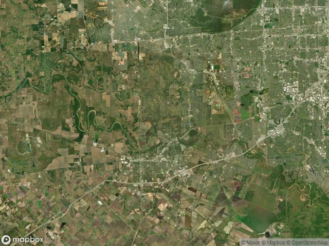
94 coordonnées GPS vérifiées dans le département de Fort Bend, Texas, États-Unis.
Vous cherchez des lieux abandonnes a Fort Bend, Texas, États-Unis ? Urbex Maps propose 94 coordonnees GPS verifiees de batiments abandonnes dans cette zone, dont .
94
spots verifies
GPS
Google Maps, Waze
juin 2026
derniere mise a jour
Ou trouver des lieux abandonnes a Fort Bend ?
Les lieux abandonnes a Fort Bend se trouvent le mieux via la carte urbex interactive de Urbex Maps avec 94 coordonnees GPS verifiees. Les categories principales sont .
Spots dans Fort Bend

Aliana

Aliana

Aliana

Aliana

Amaranth Way

Antoinette Reading Junior High School, Richmond

Aralia Drive

Arcola

Bailey Ridge Lane, Katy

Becketts Knoll Court

Booth

Brandt Road

Brandt Road

Brumbelow Road

Cane Island Parkway

Cane Island Parkway

Cane Island Parkway

Cane Island Parkway, Katy

Circle Lake Drive

Crosswater Lane

Drachenberg Road, Rosenberg

FM 1463

FM 1463, Katy

FM 1463, Katy

FM 1875, Rosenberg

FM 1875, Rosenberg

FM 521, Fresno

FM 521, Fresno

Fifth Street

First Baptist Church of Katy, Katy

Fort Bend County, Texas

Fort Bend County, Texas

Fulshear

GC-100 Mainline

Hilltop Road, Kendleton

Hubenak Road

Industrial Boulevard, Sugar Land

Katy Freeway Frontage Road, Katy

Kingsland Boulevard

Krenek Gathering System

Long Point

Lost Lake Drive

Majestic Ridge Lane, Katy

Mason Road

Meadowgreen Lane

Meadows of Parkway Lakes

Mission Bend

Mission Bend Church of Christ, Richmond

Nightshade Street

Park Two Drive, Sugar Land

Park Westheimer

Pembrooke Way Drive

Pleak

Rosenberg

Rosenberg

Rosenberg Field Gathering

Rosenberg Field Gathering

Rosenberg Field Gathering

Rosenberg Field Gathering

Rosenberg Gas Pipeline
+ 34 autres spots