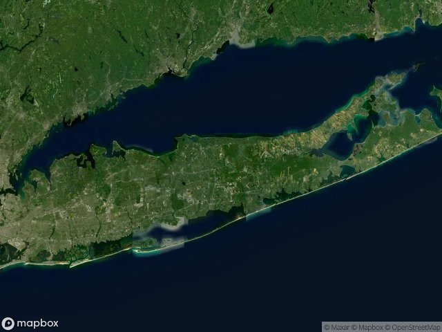
Carte Urbex Suffolk
76 lieux abandonnés à Suffolk
76
spots
Paiement unique - accès à vie
Mises à jour régulières disponibles à vie
Thèmes présents dans ce pack
- Asiles
- Maisons abandonnees
- kirkbride-era
- Paranormal
- psychiatric
Tous les lieux abandonnés de Suffolk
76 coordonnées GPS vérifiées dans le département de Suffolk, New York, États-Unis.
Vous cherchez des lieux abandonnes a Suffolk, New York, États-Unis ? Urbex Maps propose 76 coordonnees GPS verifiees de batiments abandonnes dans cette zone, dont Asiles, Maisons abandonnees, kirkbride-era, Paranormal, psychiatric.
76
spots verifies
GPS
Google Maps, Waze
juin 2026
derniere mise a jour
Ou trouver des lieux abandonnes a Suffolk ?
Les lieux abandonnes a Suffolk se trouvent le mieux via la carte urbex interactive de Urbex Maps avec 76 coordonnees GPS verifiees. Les categories principales sont Asiles, Maisons abandonnees, kirkbride-era, Paranormal, psychiatric.
Types de lieux abandonnes a Suffolk
- Asiles
- Maisons abandonnees
- kirkbride-era
- Paranormal
- psychiatric
Spots dans Suffolk

Abandoned Fight Club house

Bannerman's Castle

Barton Avenue, East Patchogue

Booker Lane, Westhampton

Brookhaven Airport Road, Town of Brookhaven

Buffalo Central Terminal

Building 93

Camp Hero Radar Station

Camp Hero Road, Town of East Hampton

Colonel Daniel Wolf Road, Town of East Hampton

Colonel John Dunn Road, Town of East Hampton

Conklin Street, East Farmingdale

Country Fair, Coram

Crooked Hill Road, Brentwood

East 4th Street, Town of Smithtown

East 4th Street, Town of Smithtown

East Hoffman Avenue, Village of Lindenhurst

Glenwood Power Station

Grandview Circle, Town of Smithtown

Grandview Circle, Town of Smithtown

Great River

Grossinger's Catskill Resort

Grumman Boulevard, Town of Riverhead

Hickory Bend, Remsenburg-Speonk

Hudson River State Hospital

Islip Terrace, East Islip

Kings Park Boulevard, Kings Park

Kings Park Boulevard, Kings Park

Kings Park Boulevard, Kings Park

Kings Park Boulevard, Town of Smithtown

Kings Park Boulevard, Town of Smithtown

Kings Park Boulevard, Town of Smithtown

Kings Park Hike and Bike Trail, Kings Park

Kings Park Hike and Bike Trail, Kings Park

Kings Park Psychiatric Center

Kings Park Psychiatric Center (New York, USA)

Letchworth Village

Liberty Way, North Lindenhurst

Lilco Road, East Shoreham

Long Island Avenue, Medford

Long Island Greenbelt Trail, Town of Smithtown

Maple Hill Road, Kings Park

Maple Hill Road, Kings Park

Maryhaven center of hope

Montauk Highway, Montauk

Montauk Highway, Town of East Hampton

Montauk Point State Parkway, Town of East Hampton

Nikola Tesla’s Tower

North 3rd Street, Sayville

North Bay Shore, Brentwood

North Brother Island

North Greene Avenue, North Lindenhurst

Oceanview Boulevard, Town of Brookhaven

Old Country Road, Westhampton

Old Country Road, Westhampton

Old Dock Road, Kings Park

Orchard Road, Kings Park

Pilgrim Psychiatric Center, Brentwood

Point Road, Orient Point

Riverhead
+ 16 autres spots
FAQ urbex en Suffolk, États-Unis
L'exploration urbaine est-elle légale en Suffolk, États-Unis ?+
Quels types de lieux abandonnés trouve-t-on en Suffolk, États-Unis ?+
Comment utiliser les coordonnées GPS achetées ?+
Combien de lieux abandonnés sont référencés en Suffolk, États-Unis ?+
Quelle est la meilleure saison pour explorer en Suffolk, États-Unis ?+
Articles liés

Abandoned Haunted Places in the USA: 16 Spots + Map
Centralia, Hart Island, Picher, Kings Park, Holy Land USA: 16 truly abandoned and paranormal urbex sites in America. Free GPS, photos, videos.
51 min · EN

Abandoned Places in New York: 10 Best Sites (Free GPS)
Kings Park Psychiatric Center, North Brother Island, Bannerman's Castle: 10 iconic abandoned places in New York State with free GPS, 1,247 documented spots, and videos. Abandoned places map New York 2026.
38 min · EN