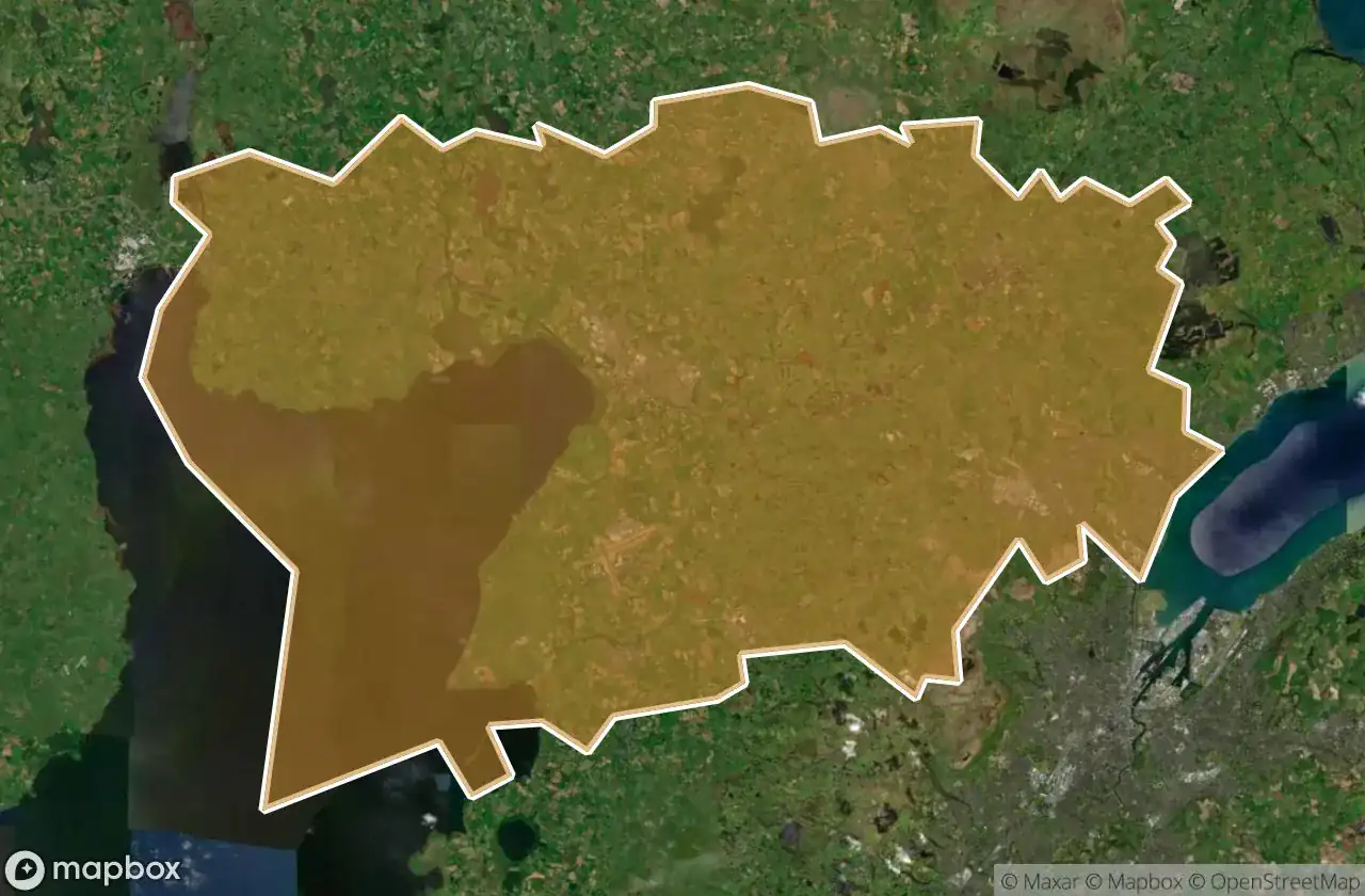
Carte Urbex Antrim And Newtownabbey
19 lieux abandonnés à Antrim And Newtownabbey
19
spots
Paiement unique - accès à vie
Paiement 100% sécurisé
Connexion chiffrée SSL · Aucune donnée bancaire stockée
Mises à jour régulières disponibles à vie
Tous les lieux abandonnés de Antrim And Newtownabbey
19 coordonnées GPS vérifiées dans le département de Antrim And Newtownabbey, Northern Ireland, Royaume-Uni.
Vous cherchez des lieux abandonnes a Antrim And Newtownabbey, Northern Ireland, Royaume-Uni ? Urbex Maps propose 19 coordonnees GPS verifiees de batiments abandonnes dans cette zone, dont .
19
spots verifies
GPS
Google Maps, Waze
juin 2026
derniere mise a jour
Ou trouver des lieux abandonnes a Antrim And Newtownabbey ?
Les lieux abandonnes a Antrim And Newtownabbey se trouvent le mieux via la carte urbex interactive de Urbex Maps avec 19 coordonnees GPS verifiees. Les categories principales sont .
Spots dans Antrim And Newtownabbey

Antrim Road, Antrim and Newtownabbey District

Castle Lug, Antrim and Newtownabbey District

Crumlin

Grange Lane, Antrim and Newtownabbey District

Grange Lane, Antrim and Newtownabbey District

Hydepark Road, Antrim and Newtownabbey District

M2, Antrim and Newtownabbey District

Mallusk Road, Antrim and Newtownabbey District

Old Church Road, Newtownabbey

Riverside Special School, Antrim

The Geometry of Absence

The Grid’s Silent Echo

The Imported Silence

The Phantom Coordinate

The Plotted Void

Traces of Deleted Space

Traces of the Imported Void

Vertices Of A Silence

Whiteabbey Hospital, Newtownabbey