Carte Urbex Rochdale
48 lieux abandonnés à Rochdale
48
spots
Paiement unique - accès à vie
Paiement 100% sécurisé
Connexion chiffrée SSL · Aucune donnée bancaire stockée
Mises à jour régulières disponibles à vie
Thèmes présents dans ce pack
- Usines abandonnees
- Moulins
Tous les lieux abandonnés de Rochdale
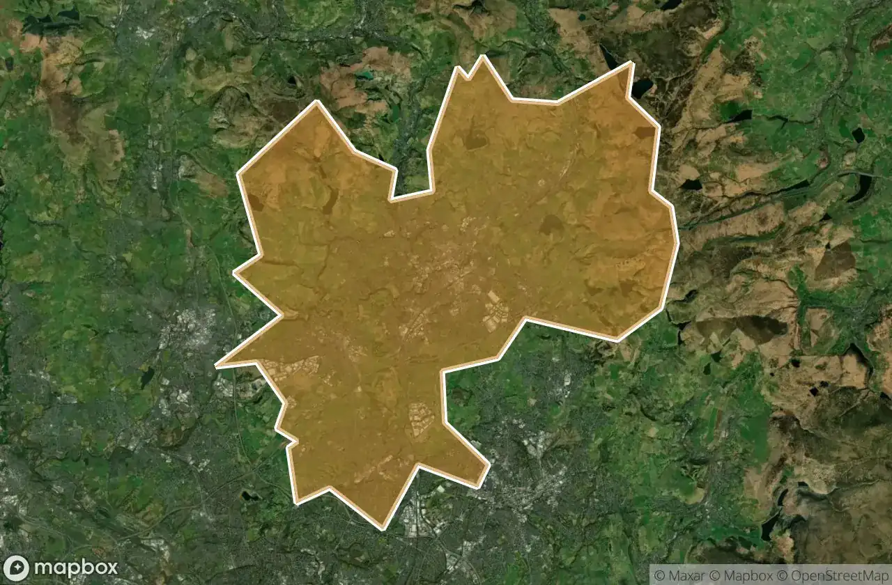
48 coordonnées GPS vérifiées dans le département de Rochdale, England, Royaume-Uni.
Vous cherchez des lieux abandonnes a Rochdale, England, Royaume-Uni ? Urbex Maps propose 48 coordonnees GPS verifiees de batiments abandonnes dans cette zone, dont Usines abandonnees, Moulins.
48
spots verifies
GPS
Google Maps, Waze
juin 2026
derniere mise a jour
Ou trouver des lieux abandonnes a Rochdale ?
Les lieux abandonnes a Rochdale se trouvent le mieux via la carte urbex interactive de Urbex Maps avec 48 coordonnees GPS verifiees. Les categories principales sont Usines abandonnees, Moulins.
Types de lieux abandonnes a Rochdale
- Usines abandonnees
- Moulins
Spots dans Rochdale

Ashworth Mill

Ashworth Road, Heywood

Bell Street, Rochdale

Birtle Dean Mills

Carr Lane, Newhey

Carr Lane, Newhey

Castleway, Castleton

Cheesden Lumb Mill

Cheesden Mill

Entwisle Road, Milnrow

Haugh Square, Newhey

Healey Hall Mill

Heywood

Heywood

Imported Shadows in Code

Littleborough

M62, Newhey

Market Place, Heywood

Market Place, Middleton

Middleton

Railway Street, Littleborough

Rakewood, Littleborough

Rectory Street, Middleton

Rochdale

Rossendale

Rossendale

Rossendale

Rossendale

Saint John of the damned

Shadows of the Imported Grid

Shards of the Imported Grid

Syke Road, Littleborough

The Geometry of Silence

The Geometry of Silence

The Ice Cream Shop at Lodge, Middleton

The Imported Void

Thornham New Road, Castleton

Traces of the Silent Grid

Tunshill Lane, Littleborough

Whitworth

Whitworth

Whitworth

Whitworth

Whitworth

Whitworth

Whitworth

Whitworth

Whitworth