Mapa Urbex Antrim And Newtownabbey
19 lugares abandonados en Antrim And Newtownabbey
19
spots
Pago único - acceso de por vida
Pago 100% seguro
Conexión SSL cifrada · Sin datos bancarios almacenados
Actualizaciones de por vida
Todos los lugares abandonados de Antrim And Newtownabbey
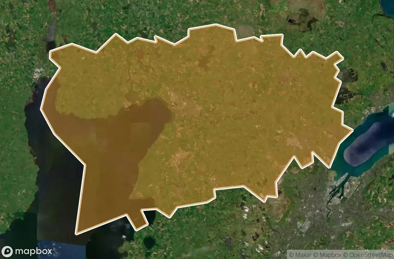
19 coordenadas GPS verificadas en el departamento de Antrim And Newtownabbey, Northern Ireland, Reino Unido.
Buscas lugares abandonados en Antrim And Newtownabbey, Northern Ireland, Reino Unido? Urbex Maps ofrece 19 coordenadas GPS verificadas de edificios abandonados en esta zona, incluyendo .
19
spots verificados
GPS
Google Maps, Waze
junio de 2026
ultima actualizacion
Donde encontrar lugares abandonados en Antrim And Newtownabbey?
Los lugares abandonados en Antrim And Newtownabbey se encuentran mejor a traves del mapa urbex interactivo de Urbex Maps con 19 coordenadas GPS verificadas.
Spots en Antrim And Newtownabbey

Antrim Road, Antrim and Newtownabbey District

Castle Lug, Antrim and Newtownabbey District

Crumlin

Grange Lane, Antrim and Newtownabbey District

Grange Lane, Antrim and Newtownabbey District

Hydepark Road, Antrim and Newtownabbey District

M2, Antrim and Newtownabbey District

Mallusk Road, Antrim and Newtownabbey District

Old Church Road, Newtownabbey

Riverside Special School, Antrim

The Geometry of Absence

The Grid’s Silent Echo

The Imported Silence

The Phantom Coordinate

The Plotted Void

Traces of Deleted Space

Traces of the Imported Void

Vertices Of A Silence

Whiteabbey Hospital, Newtownabbey