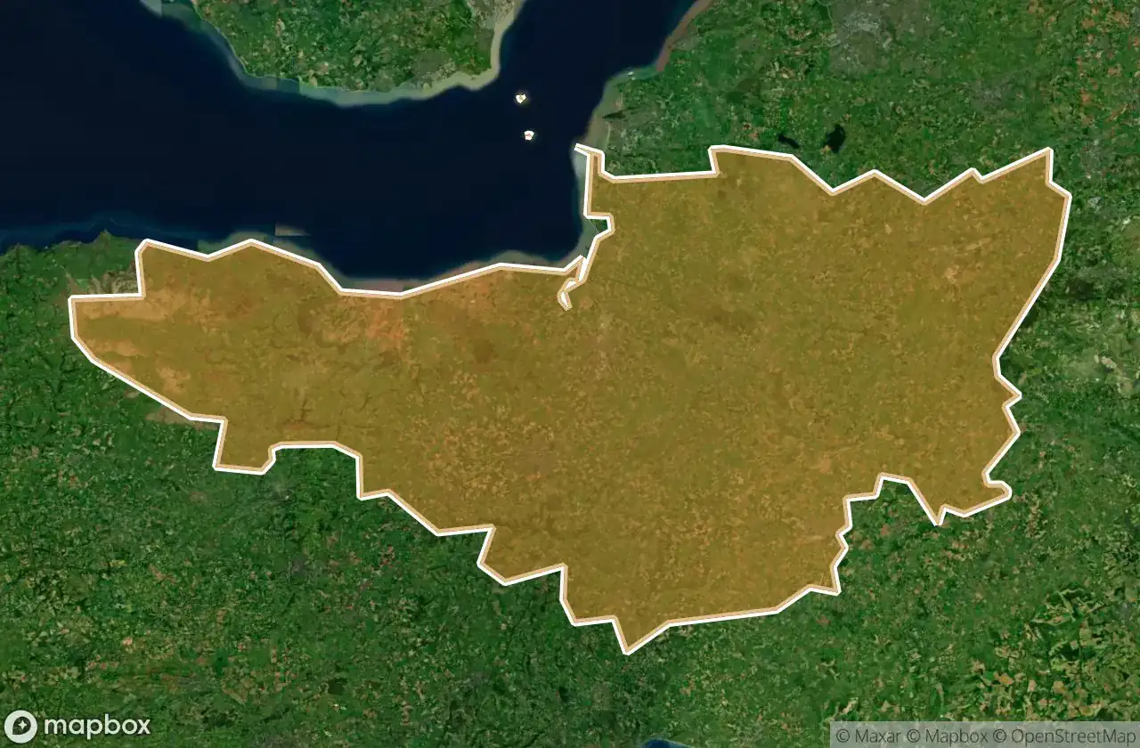
Mapa Urbex Somerset
61 lugares abandonados en Somerset
61
spots
Pago único - acceso de por vida
Pago 100% seguro
Conexión SSL cifrada · Sin datos bancarios almacenados
Actualizaciones de por vida
Temas incluidos en este pack
- Casas abandonadas
- Bunkers
- Hospitales
- Escuelas
- Militar
- motte
- Castillos
Todos los lugares abandonados de Somerset
61 coordenadas GPS verificadas en el departamento de Somerset, England, Reino Unido.
Buscas lugares abandonados en Somerset, England, Reino Unido? Urbex Maps ofrece 61 coordenadas GPS verificadas de edificios abandonados en esta zona, incluyendo Casas abandonadas, Bunkers, Hospitales, Escuelas, Militar, motte.
61
spots verificados
GPS
Google Maps, Waze
junio de 2026
ultima actualizacion
Donde encontrar lugares abandonados en Somerset?
Los lugares abandonados en Somerset se encuentran mejor a traves del mapa urbex interactivo de Urbex Maps con 61 coordenadas GPS verificadas.
Tipos de lugares abandonados en Somerset
- Casas abandonadas
- Bunkers
- Hospitales
- Escuelas
- Militar
- motte
- Castillos
Spots en Somerset

A359, Sparkford

Abandoned Private School

Abbot's Kitchen, Glastonbury

Berhill, Ashcott

Bishops Lydeard

Bridgwater Without, Bridgwater

Brook Bank, Draycott

Buscott, Ashcott

Chilkwell Street, Glastonbury

Coastguard Lookout (ruins)

Comberow Incline Winding House

Cote, East Huntspill

Creech Saint Michael

Cricket St Thomas

Curry Rivel

Dean's Lane

Draydon Cottages, Dulverton

Farmhouse Battery, Weston-super-Mare

Foundations of Tom's house

Highbridge

Horsehill Farm, Evercreech

Jubilee Close, Castle Cary

King Alfred's Tower, Kilmington

King Arthur's Tomb, Glastonbury

King Arthur's Tomb, Glastonbury

Lipe Hill Lane, Trull

North Petherton

Old Cholera Hospital

Old Police Station, Frome

Oscar Mayer

Porlock Weir, Porlock

Porlock Weir, Porlock

Puriton

Quantock Lodge, Bridgwater

Royal Mail, Ashcott

Salmon Parade, Bridgwater

Scott Road, Burnham-on-Sea

Selworthy, Allerford

Selworthy, Porlock

Shorland Row, Castle Cary

Station Road, Taunton

Stoke-sub-Hamdon

The Shadowed Coordinate

Tonedale Mills, Tonedale

Wedmore

Westcombe, Batcombe

Westwood

Williton

Williton

Wiveliscombe

Wiveliscombe

Wiveliscombe

Yeo Valley, Stoford

Yeovil

Yeovil

Yeovil

Zig Zag Path, Weston-super-Mare

Zig Zag Path, Weston-super-Mare

Zig Zag Path, Weston-super-Mare

Zig Zag Path, Weston-super-Mare
+ 1 spots más