Mapa Urbex Ratoath
47 lugares abandonados en Ratoath
47
spots
Pago único - acceso de por vida
Pago 100% seguro
Conexión SSL cifrada · Sin datos bancarios almacenados
Actualizaciones de por vida
Temas incluidos en este pack
- Iglesias
- Castillos
- Casas abandonadas
Todos los lugares abandonados de Ratoath
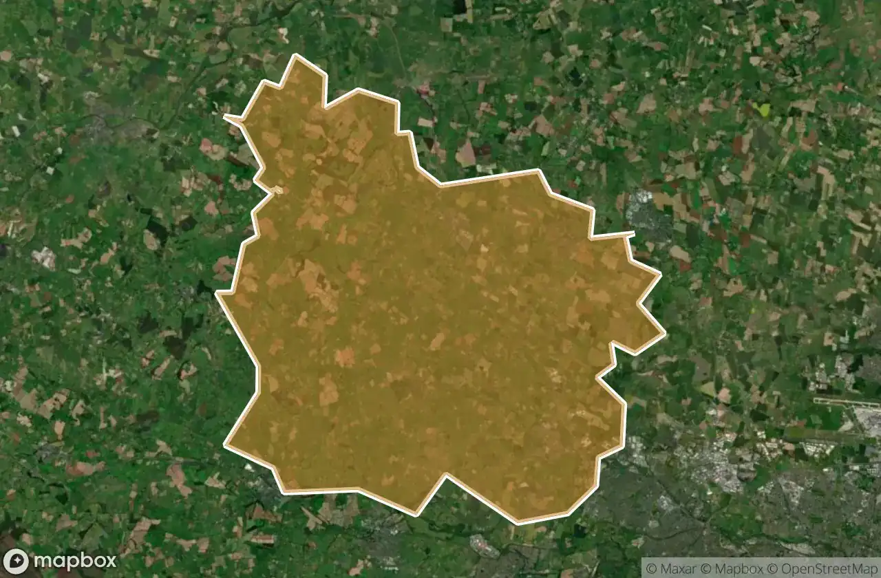
47 coordenadas GPS verificadas en el departamento de Ratoath, Meath, Irlanda.
Buscas lugares abandonados en Ratoath, Meath, Irlanda? Urbex Maps ofrece 47 coordenadas GPS verificadas de edificios abandonados en esta zona, incluyendo Iglesias, Castillos, Casas abandonadas.
47
spots verificados
GPS
Google Maps, Waze
junio de 2026
ultima actualizacion
Donde encontrar lugares abandonados en Ratoath?
Los lugares abandonados en Ratoath se encuentran mejor a traves del mapa urbex interactivo de Urbex Maps con 47 coordenadas GPS verificadas.
Tipos de lugares abandonados en Ratoath
- Iglesias
- Castillos
- Casas abandonadas
Spots en Ratoath

Alicebrook

Balfeaghan Church

Balfeaghan House

Church of St. Nicholas

Culmullin

Culmullin

Dunboyne

Dunboyne ED, The Municipal District of Ratoath

Dunboyne ED, The Municipal District of Ratoath

Dunshaughlin Union Workhouse, site of

Hanwood Gardens

Hartstown

Kilclone

Kilcloon

Killeen Church

Killien Road

Killien Road

Kilmore Church

Kilmore ED, The Municipal District of Ratoath

Knockmark Church

Knocknatulla

L22051

L2207

L2207

L22071

L2214

L50211

L62031

L6216

L6222

L6222

L6222

Mount View

Moyglare Castle

Mulhussey Castle

Mulhussey Church

R125

R147

Rathregan Church

Rathregan House

Rodanstown ED, The Municipal District of Ratoath

Rodanstown ED, The Municipal District of Ratoath

Rodanstown ED, The Municipal District of Ratoath

Rush House

Salestown Castle (in ruins)

St. Seachnall's Church

Windmill (in ruins)