Mapa Urbex Nordfriesland
39 lugares abandonados en Nordfriesland
39
spots
Pago único - acceso de por vida
Pago 100% seguro
Conexión SSL cifrada · Sin datos bancarios almacenados
Actualizaciones de por vida
Temas incluidos en este pack
- Ruinas
Todos los lugares abandonados de Nordfriesland
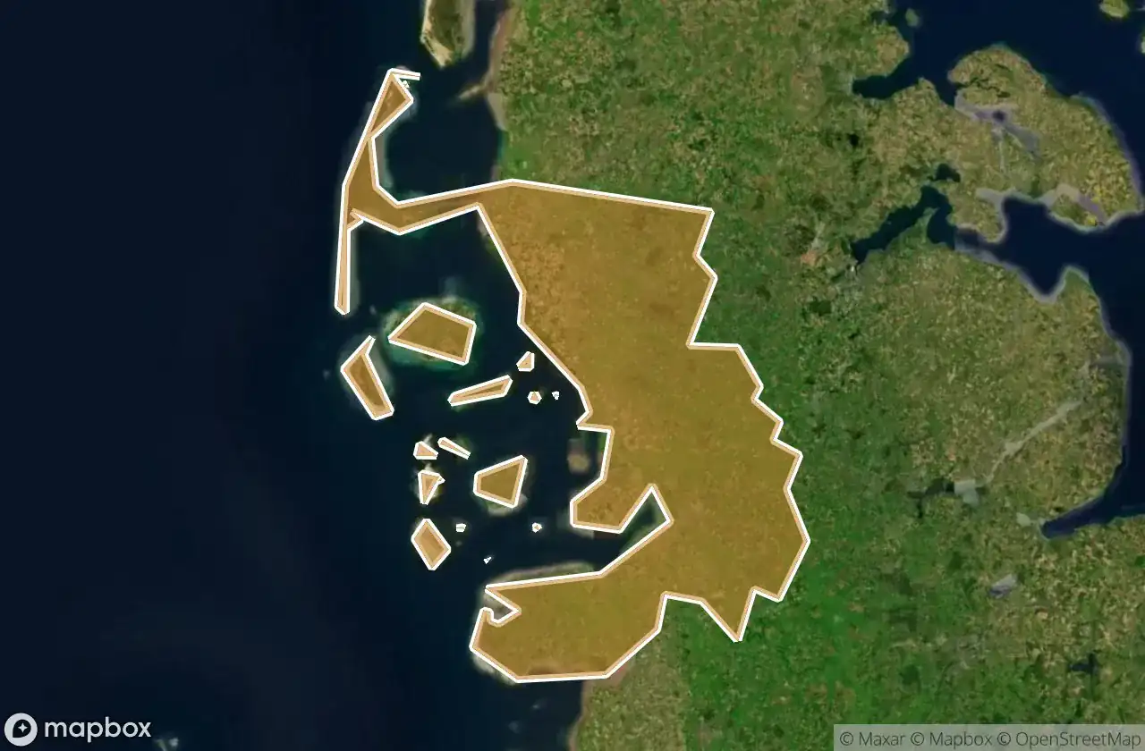
39 coordenadas GPS verificadas en el departamento de Nordfriesland, Schleswig Holstein, Alemania.
Buscas lugares abandonados en Nordfriesland, Schleswig Holstein, Alemania? Urbex Maps ofrece 39 coordenadas GPS verificadas de edificios abandonados en esta zona, incluyendo Ruinas.
39
spots verificados
GPS
Google Maps, Waze
junio de 2026
ultima actualizacion
Donde encontrar lugares abandonados en Nordfriesland?
Los lugares abandonados en Nordfriesland se encuentran mejor a traves del mapa urbex interactivo de Urbex Maps con 39 coordenadas GPS verificadas.
Tipos de lugares abandonados en Nordfriesland
- Ruinas
Spots en Nordfriesland

Alte Kirche, Pellworm

Badallee, Sankt Peter-Dorf

Bahnhofstraße, Tönning

Bahnhofstraße, Wimmersbüll

Borgsum

Dorfstraße, Sankt Peter-Dorf

Eiscafé Cappuccino, Norddorf auf Amrum

Engesande, Enge

Holbekweg, Schwabstedt

Im Bad, Sankt Peter-Bad

Imported Coordinate Shadows

K 44, Langeneß

Karkenweg, Drelsdorf

Koogstraße, Tümlauer Koog

Lister Straße, Kampen (Sylt)

Norddorf

Nordermitteldeich, Pellworm

Oberdorf, Bondelum

Obere Wandelbahn, Wittdün auf Amrum

Parkplatz Dockkoog, Husum

Porrendeich, Uelvesbüll

Residual Coordinate Fragments

Seegarden, Tammensiel

Shadows of the Imported Grid

Shadows of the Imported Grid

Stollberg, West-Bordelum

Strandweg, Ording

The Geometry of Silence

The Geometry of Silence

The Ghost in the Grid

The Imported Geometric Ghost

The Latent Coordinate Echo

The Latent Geometry

The Mapped Void

The Plotted Void

Traced Coordinates of Silence

Traces of the Grid

Traces of the Grid

Traces of the Imported Grid