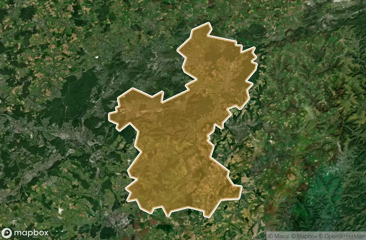
Mapa Urbex Saarpfalz Kreis
34 lugares abandonados en Saarpfalz Kreis
34
spots
Pago único - acceso de por vida
Pago 100% seguro
Conexión SSL cifrada · Sin datos bancarios almacenados
Actualizaciones de por vida
Temas incluidos en este pack
- Bunkers
- Ruinas
- Militar
Todos los lugares abandonados de Saarpfalz Kreis
34 coordenadas GPS verificadas en el departamento de Saarpfalz Kreis, Saarland, Alemania.
Buscas lugares abandonados en Saarpfalz Kreis, Saarland, Alemania? Urbex Maps ofrece 34 coordenadas GPS verificadas de edificios abandonados en esta zona, incluyendo Bunkers, Ruinas, Militar.
34
spots verificados
GPS
Google Maps, Waze
junio de 2026
ultima actualizacion
Donde encontrar lugares abandonados en Saarpfalz Kreis?
Los lugares abandonados en Saarpfalz Kreis se encuentran mejor a traves del mapa urbex interactivo de Urbex Maps con 34 coordenadas GPS verificadas.
Tipos de lugares abandonados en Saarpfalz Kreis
- Bunkers
- Ruinas
- Militar
Spots en Saarpfalz Kreis

Allmendstraße, Niederwürzbach

Alte Schmelz, Sankt Ingbert

Am Feilbach, Bexbach

Am Gedünner, Homburg

Am Gleisbauhof, Kirkel

Am grauen Bannstein, Heckendalheim

Am grauen Bannstein, Heckendalheim

Artifact of the Transfer

B 423, Webenheim

Blücherstraße, Sankt Ingbert

Friedrichstraße, Reinheim

Gersheim

Im Gräsertal, Limbach

Industriering, Blieskastel

Kirkel

L 102, Riesweiler

Obere Kaiserstraße, Sankt Ingbert

Otto-Walle-Straße, Heckendalheim

Plotting The Silent Void

Robert-Bosch-Straße, Homburg

Robert-Schuman-Straße, Reinheim

Sankt Ingbert

Sankt Ingbert

Sankt Ingbert

St. Ingberter Straße, Heckendalheim

Sulgerhof

The Geometry of Shadows

Traced Beyond the Grid

Traced Beyond the Grid

Traces in the Vector

Traces of the Mesh

Vector of Residual Silence

ehemaliger Bahnhof Jägersburg, Jägersburg

ehm. Gassenmühle