Urbex Map San Mateo
12 abandoned places in San Mateo
12
spots
One-time payment - lifetime access
Regular lifetime updates
Themes included in this pack
- Tunnels
- Bunkers
- Ruins
- Train stations
All abandoned places in San Mateo
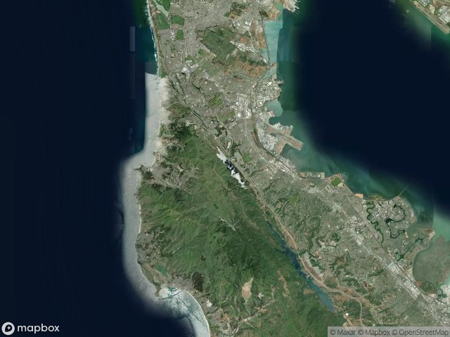
12 verified GPS coordinates in the department of San Mateo, California, United States.
Looking for abandoned places in San Mateo, California, United States? Urbex Maps offers 12 verified GPS coordinates of abandoned buildings in this area, including Tunnels, Bunkers, Ruins, Train stations.
12
verified spots
GPS
Google Maps, Waze
June 2026
last update
Where to find abandoned places in San Mateo?
The best way to find abandoned places in San Mateo is through the interactive urbex map on Urbex Maps with 12 verified GPS coordinates. Top categories are Tunnels, Bunkers, Ruins, Train stations.
Types of abandoned places in San Mateo
- Tunnels
- Bunkers
- Ruins
- Train stations
Spots in San Mateo

Belmont Drain Tunnel

Cabrillo Highway

Coast Guard Site

Highlands-Baywood Park

Margate Street, Daly City

Sharp Park, Pacifica

Shelter cove pacifica

Sullivan Avenue, Daly City

Sweeney Ridge Trail, Pacifica

Train station

Tunnel

Vertices of the Forgotten