Urbex Map Drenthe
47 abandoned places • 12 departments
47
spots
One-time payment - lifetime access
100% Secure Checkout
SSL encrypted · No banking data stored
Regular lifetime updates
Themes included in this pack
- Schools
All abandoned places in Drenthe
47 verified GPS coordinates across 12 departments. Castles, industrial ruins, hospitals, bunkers, mines.
Find 47 abandoned places near Aa En Hunze, Noordenveld, Midden Drenthe, Assen, Coevorden and across Drenthe, Netherlands. Categories include Schools. All locations are GPS-verified on the interactive map.
47
verified spots
12
areas covered
GPS
Google Maps, Waze
June 2026
last update
Where to find abandoned locations near Drenthe?
The best way to find abandoned places in Drenthe is through the interactive urbex map on Urbex Maps with GPS coordinates. The region has 47 verified locations across 12 areas, including Aa En Hunze, Noordenveld, Midden Drenthe, Assen, Coevorden. Top categories are Schools.
Abandoned places by area in Drenthe
| Area | Spots | Map |
|---|---|---|
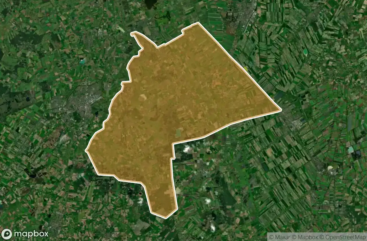
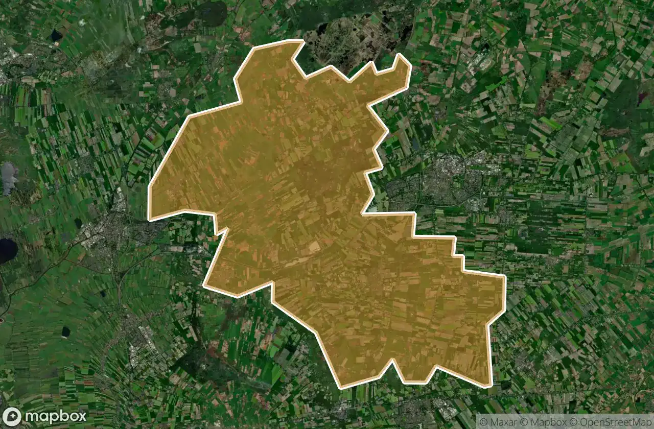
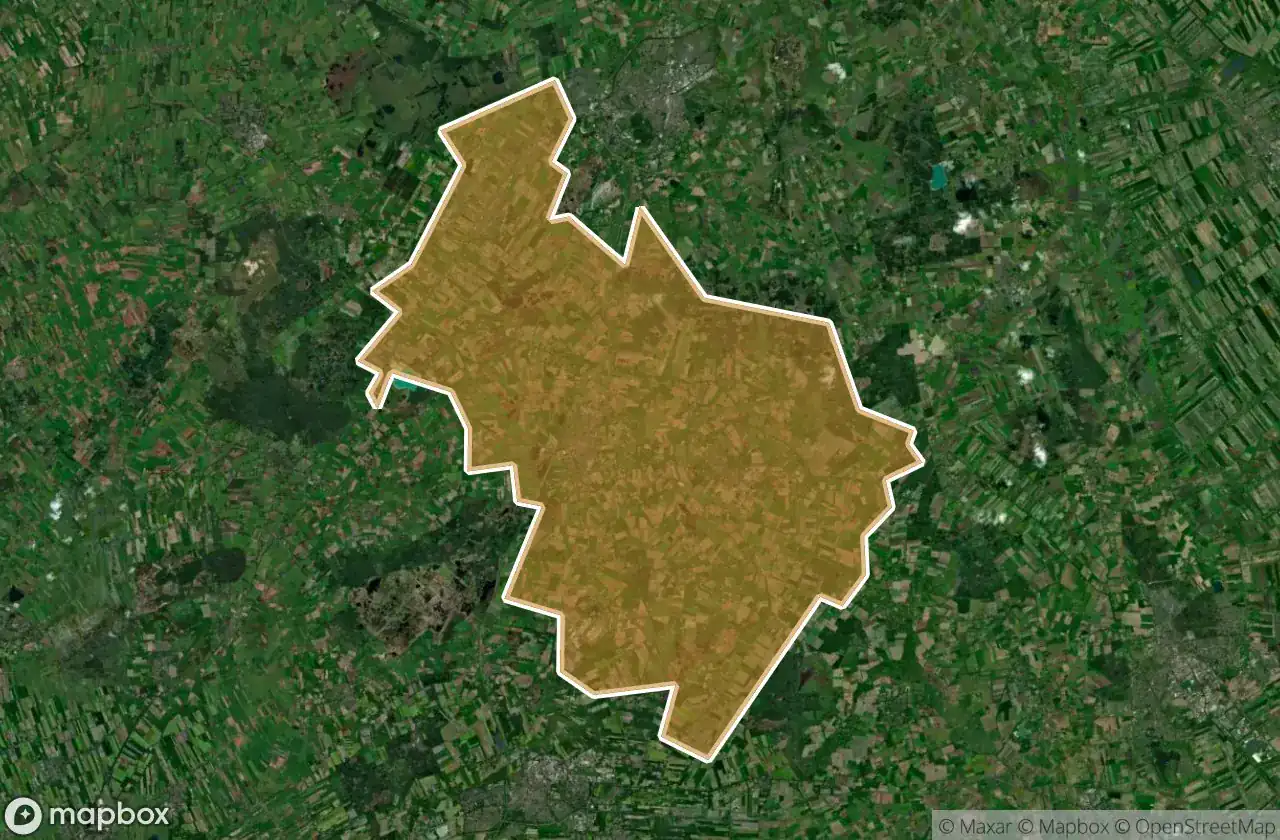
| Aa En Hunze | 11 | View map → |
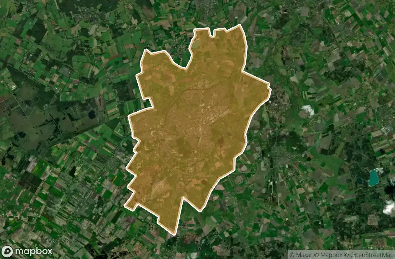
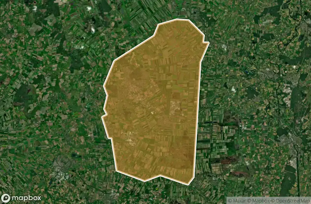
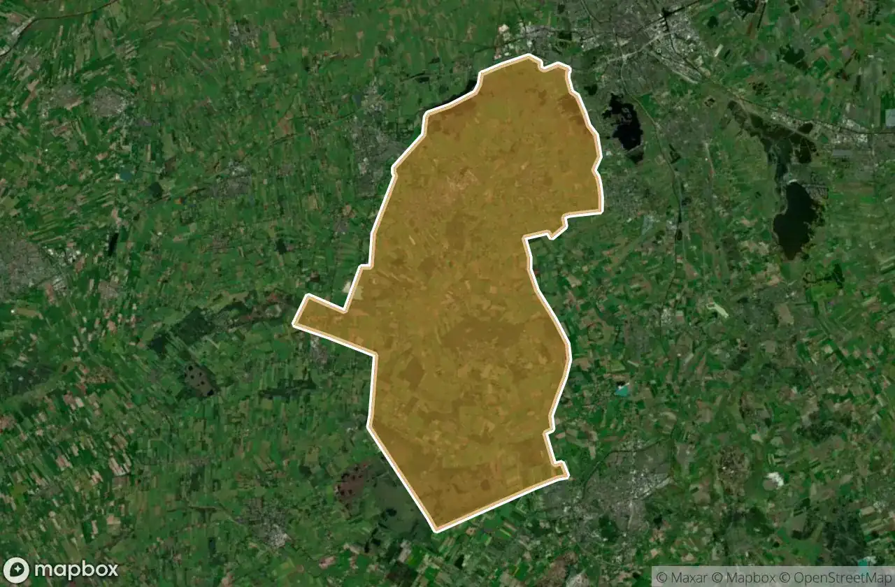
| Noordenveld | 7 | View map → |
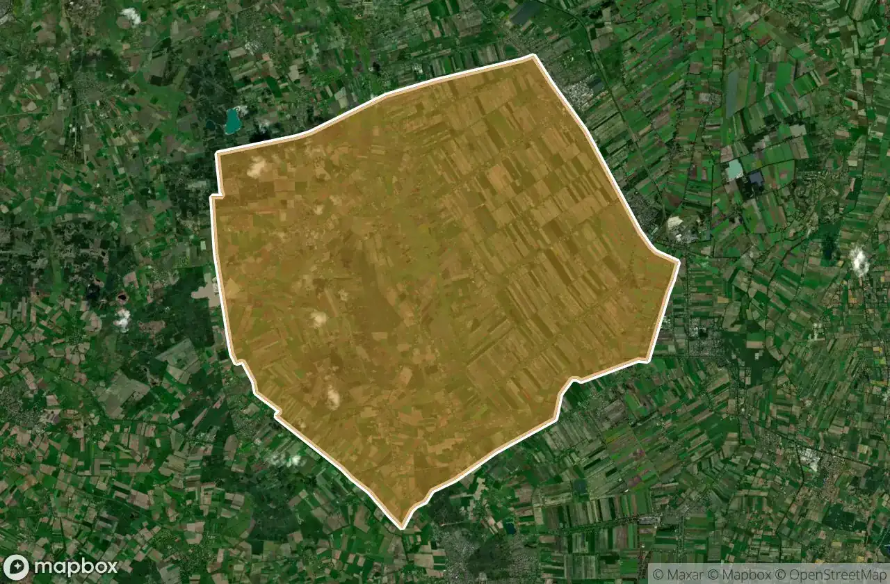
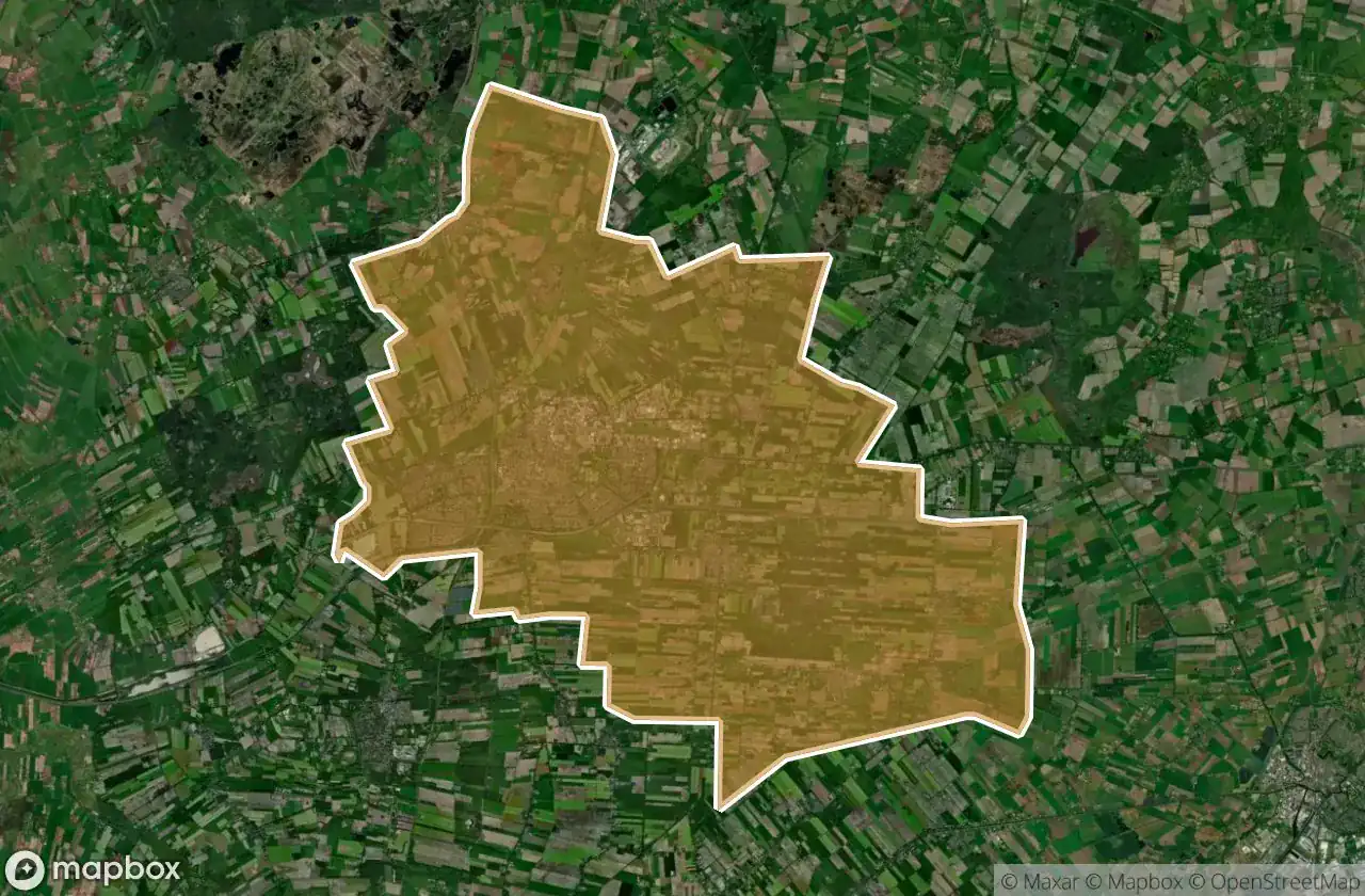
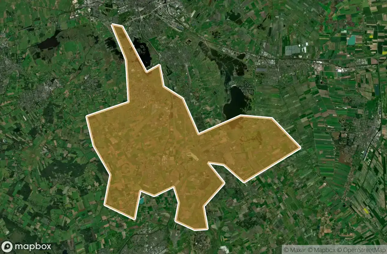
| Midden Drenthe | 6 | View map → |
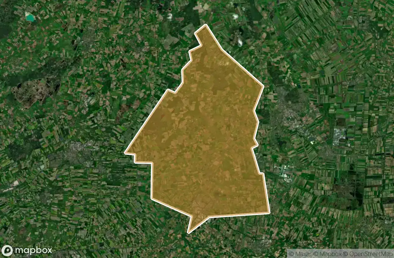
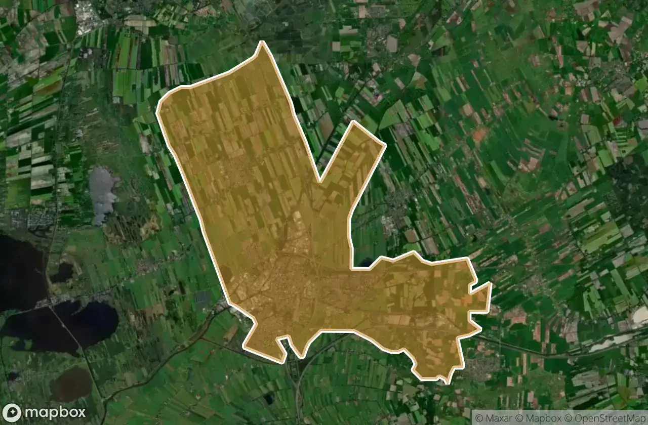
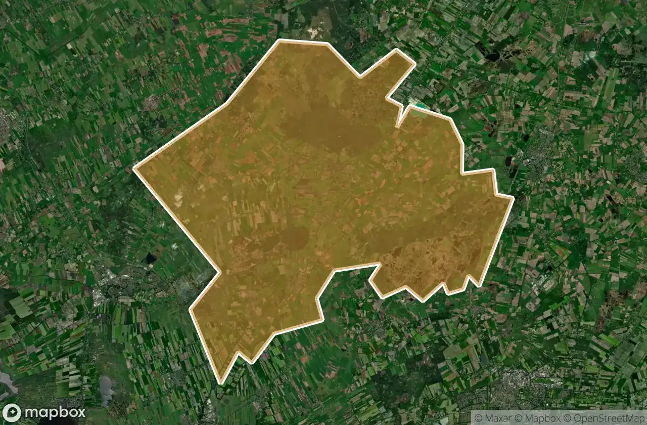
| Assen | 5 | View map → |
| Coevorden | 4 | View map → |
| Hoogeveen | 4 | View map → |
| De Wolden | 2 | View map → |
| Meppel | 2 | View map → |
| Tynaarlo | 2 | View map → |
| Westerveld | 2 | View map → |
Types of abandoned places in Drenthe
- Schools
By department
Click a department to see its urbex spots.