Urbex Map Arhus
17 abandoned places in Arhus
17
spots
One-time payment - lifetime access
100% Secure Checkout
SSL encrypted · No banking data stored
Regular lifetime updates
Themes included in this pack
- Bunkers
- Military
All abandoned places in Arhus
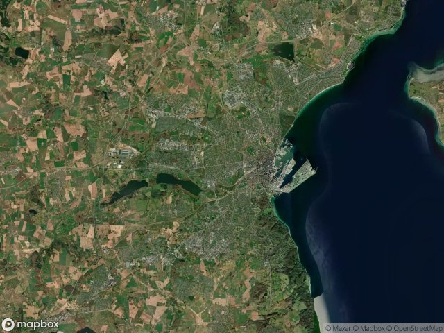
17 verified GPS coordinates in the department of Arhus, Midtjylland, Denmark.
Looking for abandoned places in Arhus, Midtjylland, Denmark? Urbex Maps offers 17 verified GPS coordinates of abandoned buildings in this area, including Bunkers, Military.
17
verified spots
GPS
Google Maps, Waze
June 2026
last update
Where to find abandoned places in Arhus?
The best way to find abandoned places in Arhus is through the interactive urbex map on Urbex Maps with 17 verified GPS coordinates. Top categories are Bunkers, Military.
Types of abandoned places in Arhus
- Bunkers
- Military
Spots in Arhus

Augustenborggade, Aarhus

Bjørnholms Allé, Aarhus

Casper Møllers Vej, Aarhus

Egåvej, Egå

Havreballe Skovvej, Aarhus

Holmstrupgårdvej, Tilst

Jyllands Allé, Aarhus

Kroghsgade, Aarhus

Marienlystvej, Aarhus

Marselisborg Grønnevej, Aarhus

Mosegårdsvangen, Aarhus

Obstrup, Aarhus

Oddervej, Aarhus

Rugholm, Aarhus

Tranbjergparken, Aarhus

Voldbæk Huse, Aarhus

Århusvej, Skanderborg