Urbex Map Stirling
15 abandoned places in Stirling
15
spots
One-time payment - lifetime access
100% Secure Checkout
SSL encrypted · No banking data stored
Regular lifetime updates
Themes included in this pack
- Bunkers
- Military
All abandoned places in Stirling
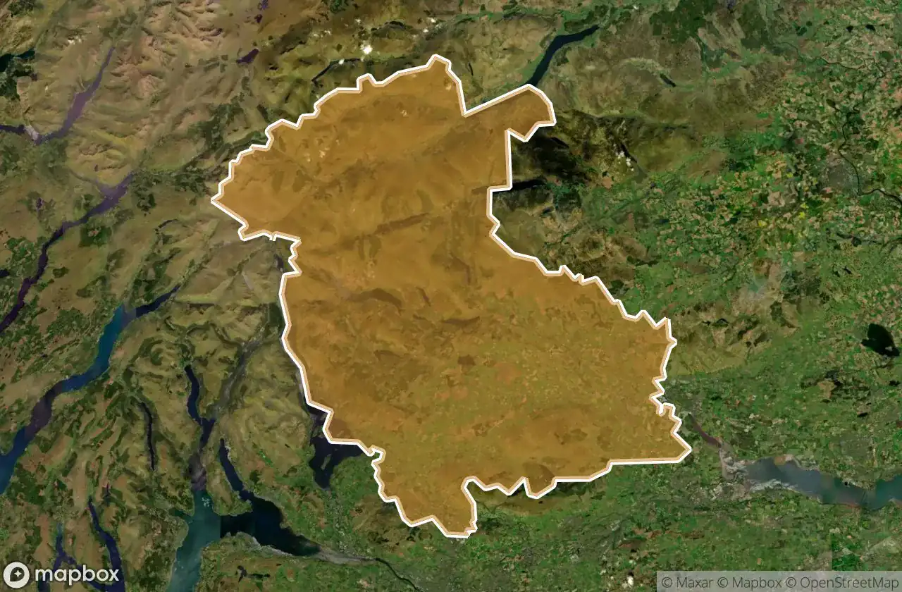
15 verified GPS coordinates in the department of Stirling, Scotland, United Kingdom.
Looking for abandoned places in Stirling, Scotland, United Kingdom? Urbex Maps offers 15 verified GPS coordinates of abandoned buildings in this area, including Bunkers, Military.
15
verified spots
GPS
Google Maps, Waze
June 2026
last update
Where to find abandoned places in Stirling?
The best way to find abandoned places in Stirling is through the interactive urbex map on Urbex Maps with 15 verified GPS coordinates. Top categories are Bunkers, Military.
Types of abandoned places in Stirling
- Bunkers
- Military
Spots in Stirling

A9, Dunblane
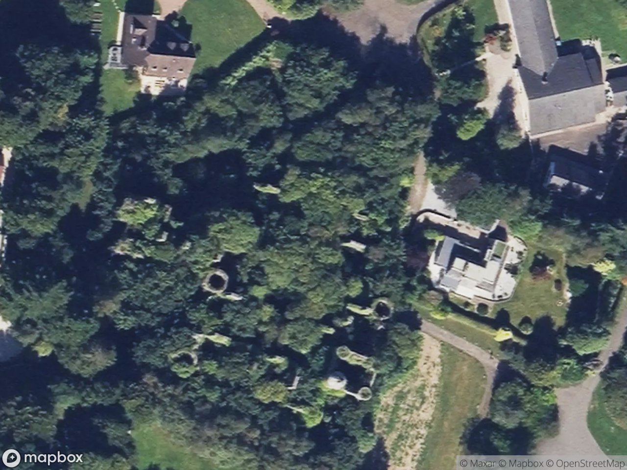
Buchanan Castle, Drymen

Callander

Dunblane

Echoes Of Plotted Earth

Finlarig Castle

Inchmahome Priory, Aberfoyle

Lost insurance building

Plean Mill Road, Stirling

Shadows In The Grid

Stirling

Stirling

The Ghost Data Trace

Traces of Lost Geometry

William Simpson's Home, Plean
Urbex FAQ for Stirling, United Kingdom
Is urban exploration legal in Stirling, United Kingdom?+
What types of abandoned places can I find in Stirling, United Kingdom?+
How do I use the GPS coordinates I've purchased?+
How many abandoned places are listed in Stirling, United Kingdom?+
What's the best season for exploring in Stirling, United Kingdom?+
What our articles say about these places
The castle became a hotel, then in the Second World War a military hospital that briefly held Rudolf Hess after his flight to Scotland in 1941. The Army left in 1946 and, to avoid taxation, the roof was removed in 1954, beginning the slow ruin you see now: walls still standing to full height but steadily swallowed b…Read the article : Abandoned Places in the UK: Top 10 Urbex 2026 →
