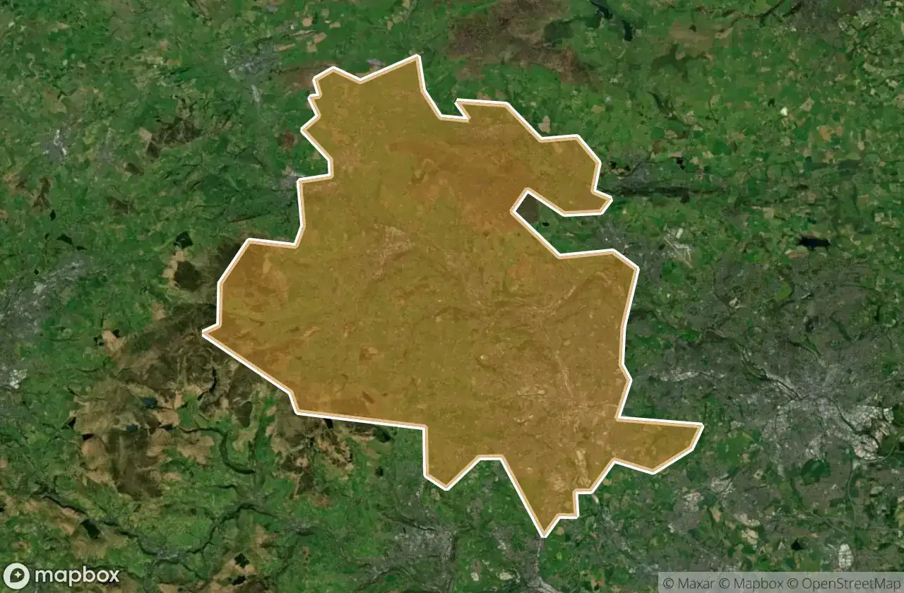
Urbex Map Bradford
29 abandoned places in Bradford
29
spots
One-time payment - lifetime access
100% Secure Checkout
SSL encrypted · No banking data stored
Regular lifetime updates
Themes included in this pack
- Abandoned factories
- Cemeteries
- Churches
- Mills
All abandoned places in Bradford
29 verified GPS coordinates in the department of Bradford, England, United Kingdom.
Looking for abandoned places in Bradford, England, United Kingdom? Urbex Maps offers 29 verified GPS coordinates of abandoned buildings in this area, including Abandoned factories, Cemeteries, Churches, Mills.
29
verified spots
GPS
Google Maps, Waze
June 2026
last update
Where to find abandoned places in Bradford?
The best way to find abandoned places in Bradford is through the interactive urbex map on Urbex Maps with 29 verified GPS coordinates. Top categories are Abandoned factories, Cemeteries, Churches, Mills.
Types of abandoned places in Bradford
- Abandoned factories
- Cemeteries
- Churches
- Mills
Spots in Bradford

Back Lane, Stanbury

Bowling Cemetery Chapel

Carr Lane, Denholme

Cragg Bottom Road, Keighley

Cross Gates

Drighlington

Enfield Side Road, Stanbury

Enfield Side Road, Stanbury

Foster Park View, Denholme

Fountain Hall, Bradford

Griff Mill

Guiseley

High Lathe

Hungerhill, Queensbury

Keighley Road, Cullingworth

Keighley Road, Cullingworth

Kennel Lane, Oxenhope

Manywells Height, Cullingworth

Manywells Height, Cullingworth

New Works Road, Oakenshaw

Parson's Lane, Addingham

Ponden Lane, Stanbury
Queensbury Tunnel

Shipley

Texere Yarns Yarn Factory

West Croft Head, Oxenhope

Whalley Lane, Denholme

White Cote

Yorkshire Martyrs catholic collage
Urbex FAQ for Bradford, United Kingdom
Is urban exploration legal in Bradford, United Kingdom?+
What types of abandoned places can I find in Bradford, United Kingdom?+
How do I use the GPS coordinates I've purchased?+
How many abandoned places are listed in Bradford, United Kingdom?+
What's the best season for exploring in Bradford, United Kingdom?+
What our articles say about these places
The tunnel closed to all traffic on 28 May 1956 and has been disused ever since. Water ingress and two partial collapses, in 2013 and 2014, have left it dramatic and dangerous, knee-deep in water in places. National Highways has long sought to infill it, while the Queensbury Tunnel Society campaigns to reopen it as …Read the article : Abandoned Places in the UK: Top 10 Urbex 2026 →
