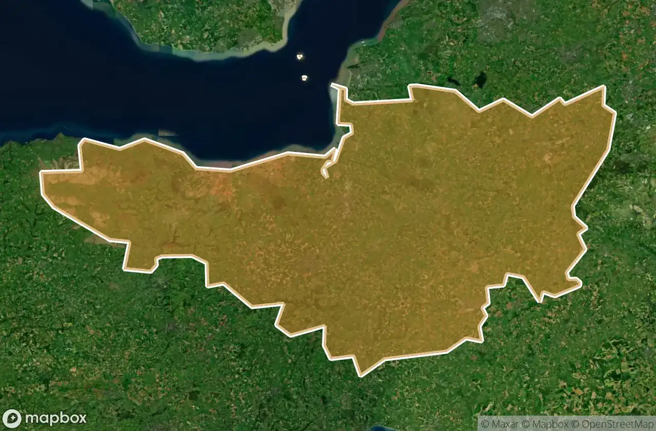
Lost Places Karte Somerset
61 verlassene Orte in Somerset
61
Orte
Einmalzahlung - lebenslanger Zugang
100% sichere Zahlung
SSL-verschlüsselte Verbindung · Keine Bankdaten gespeichert
Lebenslange Updates
In diesem Paket enthaltene Themen
- Verlassene Haeuser
- Bunker
- Krankenhaeuser
- Schulen
- Militaerisch
- motte
- Burgen
Alle verlassenen Orte in Somerset
61 verifizierte GPS-Koordinaten im Departement Somerset, England, Vereinigtes Königreich.
Suchen Sie verlassene Orte in Somerset, England, Vereinigtes Königreich? Urbex Maps bietet 61 verifizierte GPS-Koordinaten von verlassenen Gebauden in diesem Gebiet, darunter Verlassene Haeuser, Bunker, Krankenhaeuser, Schulen, Militaerisch, motte.
61
verifizierte Orte
GPS
Google Maps, Waze
Juni 2026
letztes Update
Wo findet man verlassene Orte in Somerset?
Verlassene Orte in Somerset findet man am besten ueber die interaktive Urbex-Karte auf Urbex Maps mit 61 verifizierten GPS-Koordinaten. Die wichtigsten Kategorien sind Verlassene Haeuser, Bunker, Krankenhaeuser, Schulen, Militaerisch, motte.
Arten von verlassenen Orten in Somerset
- Verlassene Haeuser
- Bunker
- Krankenhaeuser
- Schulen
- Militaerisch
- motte
- Burgen
Spots in Somerset

A359, Sparkford

Abandoned Private School

Abbot's Kitchen, Glastonbury

Berhill, Ashcott

Bishops Lydeard

Bridgwater Without, Bridgwater

Brook Bank, Draycott

Buscott, Ashcott

Chilkwell Street, Glastonbury

Coastguard Lookout (ruins)

Comberow Incline Winding House

Cote, East Huntspill

Creech Saint Michael

Cricket St Thomas

Curry Rivel

Dean's Lane

Draydon Cottages, Dulverton

Farmhouse Battery, Weston-super-Mare

Foundations of Tom's house

Highbridge

Horsehill Farm, Evercreech

Jubilee Close, Castle Cary

King Alfred's Tower, Kilmington

King Arthur's Tomb, Glastonbury

King Arthur's Tomb, Glastonbury

Lipe Hill Lane, Trull

North Petherton

Old Cholera Hospital

Old Police Station, Frome

Oscar Mayer

Porlock Weir, Porlock

Porlock Weir, Porlock

Puriton

Quantock Lodge, Bridgwater

Royal Mail, Ashcott

Salmon Parade, Bridgwater

Scott Road, Burnham-on-Sea

Selworthy, Allerford

Selworthy, Porlock

Shorland Row, Castle Cary

Station Road, Taunton

Stoke-sub-Hamdon

The Shadowed Coordinate

Tonedale Mills, Tonedale

Wedmore

Westcombe, Batcombe

Westwood

Williton

Williton

Wiveliscombe

Wiveliscombe

Wiveliscombe

Yeo Valley, Stoford

Yeovil

Yeovil

Yeovil

Zig Zag Path, Weston-super-Mare

Zig Zag Path, Weston-super-Mare

Zig Zag Path, Weston-super-Mare

Zig Zag Path, Weston-super-Mare
+ 1 weitere Spots