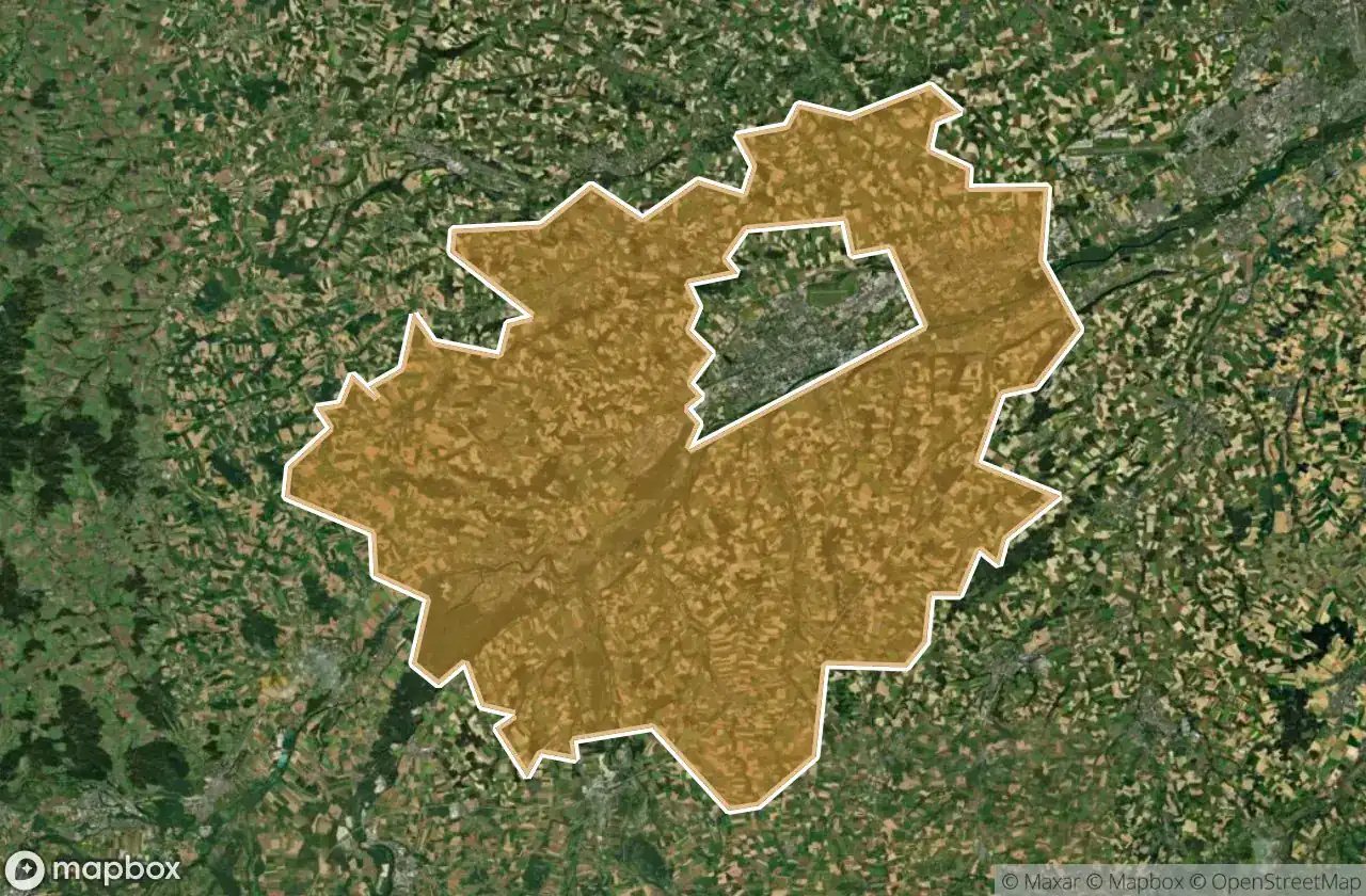
Lost Places Karte Wels Land
21 verlassene Orte in Wels Land
21
Orte
Einmalzahlung - lebenslanger Zugang
100% sichere Zahlung
SSL-verschlüsselte Verbindung · Keine Bankdaten gespeichert
Lebenslange Updates
In diesem Paket enthaltene Themen
- Bunker
- Militaerisch
- Ruinen
Alle verlassenen Orte in Wels Land
21 verifizierte GPS-Koordinaten im Departement Wels Land, Oberosterreich, Österreich.
Suchen Sie verlassene Orte in Wels Land, Oberosterreich, Österreich? Urbex Maps bietet 21 verifizierte GPS-Koordinaten von verlassenen Gebauden in diesem Gebiet, darunter Bunker, Militaerisch, Ruinen.
21
verifizierte Orte
GPS
Google Maps, Waze
Juni 2026
letztes Update
Wo findet man verlassene Orte in Wels Land?
Verlassene Orte in Wels Land findet man am besten ueber die interaktive Urbex-Karte auf Urbex Maps mit 21 verifizierten GPS-Koordinaten. Die wichtigsten Kategorien sind Bunker, Militaerisch, Ruinen.
Arten von verlassenen Orten in Wels Land
- Bunker
- Militaerisch
- Ruinen
Spots in Wels Land

Hetzendorf, Weißkirchen an der Traun

Marchtrenk

Secrets of the Crimson Grange

Shadows Beneath the Emerald Veil

Shadows of the Crimson Grange

Shadows of the Crimson Grange

Shadows of the Strangled Estate

Stadl-Paura

The Broken Crown of Industry

The Hollow Heart of Harvest

The Hollow Heart of Harvest

The Imported Geometric Void

The Labyrinth of Verdant Shadows

The Sentinel of the Silent Rail

The Shrouded Industrial Monolith

The Silent Gables of Crimson Rise

The Silent Grip of Verdant Lane

Threshold of the Vanished Sky

Where the Furrows End

Whispers of the Forgotten Junction

Whispers of the Tangled Hearth