Urbex mapa Fort Bend
94 opuštěná místa v Fort Bend
94
spoty
Jednorázová platba: doživotní přístup
Pravidelné aktualizace dostupné na celý život
Všechna opuštěná místa v Fort Bend
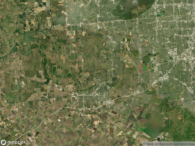
94 ověřené souřadnice GPS v kraji Fort Bend, Texas, Spojené státy.
Hledáte opuštěná místa v Fort Bend, Texas, Spojené státy? Urbex Maps nabízí 94 ověřených GPS souřadnic opuštěných budov v této oblasti, včetně .
94
ověřených míst
GPS
Google Maps, Waze
červen 2026
poslední aktualizace
Kde najít opuštěná místa v Fort Bend?
Opuštěná místa v Fort Bend najdete nejlépe přes interaktivní urbex mapu Urbex Maps s 94 ověřenými GPS souřadnicemi.
Spots v Fort Bend

Aliana

Aliana

Aliana

Aliana

Amaranth Way

Antoinette Reading Junior High School, Richmond

Aralia Drive

Arcola

Bailey Ridge Lane, Katy

Becketts Knoll Court

Booth

Brandt Road

Brandt Road

Brumbelow Road

Cane Island Parkway

Cane Island Parkway

Cane Island Parkway

Cane Island Parkway, Katy

Circle Lake Drive

Crosswater Lane

Drachenberg Road, Rosenberg

FM 1463

FM 1463, Katy

FM 1463, Katy

FM 1875, Rosenberg

FM 1875, Rosenberg

FM 521, Fresno

FM 521, Fresno

Fifth Street

First Baptist Church of Katy, Katy

Fort Bend County, Texas

Fort Bend County, Texas

Fulshear

GC-100 Mainline

Hilltop Road, Kendleton

Hubenak Road

Industrial Boulevard, Sugar Land

Katy Freeway Frontage Road, Katy

Kingsland Boulevard

Krenek Gathering System

Long Point

Lost Lake Drive

Majestic Ridge Lane, Katy

Mason Road

Meadowgreen Lane

Meadows of Parkway Lakes

Mission Bend

Mission Bend Church of Christ, Richmond

Nightshade Street

Park Two Drive, Sugar Land

Park Westheimer

Pembrooke Way Drive

Pleak

Rosenberg

Rosenberg

Rosenberg Field Gathering

Rosenberg Field Gathering

Rosenberg Field Gathering

Rosenberg Field Gathering

Rosenberg Gas Pipeline
+ 34 dalších spotů