Urbex mapa Barnstable
15 opuštěná místa v Barnstable
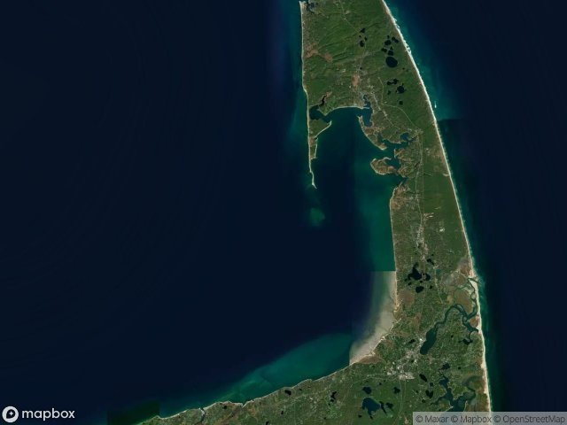
15
spoty
Jednorázová platba: doživotní přístup
Pravidelné aktualizace dostupné na celý život
Témata zahrnutá v tomto balíčku
- Majaky
- Nadrazi
Všechna opuštěná místa v Barnstable
15 ověřené souřadnice GPS v kraji Barnstable, Massachusetts, Spojené státy.
Hledáte opuštěná místa v Barnstable, Massachusetts, Spojené státy? Urbex Maps nabízí 15 ověřených GPS souřadnic opuštěných budov v této oblasti, včetně Majaky, Nadrazi.
15
ověřených míst
GPS
Google Maps, Waze
květen 2026
poslední aktualizace
Kde najít opuštěná místa v Barnstable?
Opuštěná místa v Barnstable najdete nejlépe přes interaktivní urbex mapu Urbex Maps s 15 ověřenými GPS souřadnicemi.
Typy opuštěných míst v Barnstable
- Majaky
- Nadrazi
Spots v Barnstable

Doane Road, Eastham

Eastham Train Depot and Water Tower, Eastham

MacMillan Wharf, Provincetown

Original Location of Nauset Lighthouse Prior to 1996

Peaked Hill Bars Lifesaving Station

Pleasant Lake, Harwich

Seacliff Way, Truro

The Imported Ghost Vector

Tomahawk Trail, Eastham

Tomahawk Trail, Eastham

Traces of Imported Geometry

Willow Street, Sandwich

Wilson Boulevard, Truro

Winslow Gray Road, West Yarmouth

Yarmouth Port, Yarmouth


