Urbex mapa Kootenay Boundary
17 opuštěná místa v Kootenay Boundary
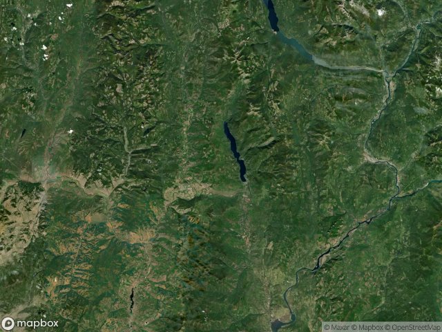
17
spoty
Jednorázová platba: doživotní přístup
100% bezpečná platba
Šifrované SSL připojení · Žádné bankovní údaje nejsou uloženy
Pravidelné aktualizace dostupné na celý život
Všechna opuštěná místa v Kootenay Boundary
17 ověřené souřadnice GPS v kraji Kootenay Boundary, British Columbia, Kanada.
Hledáte opuštěná místa v Kootenay Boundary, British Columbia, Kanada? Urbex Maps nabízí 17 ověřených GPS souřadnic opuštěných budov v této oblasti, včetně .
17
ověřených míst
GPS
Google Maps, Waze
květen 2026
poslední aktualizace
Kde najít opuštěná místa v Kootenay Boundary?
Opuštěná místa v Kootenay Boundary najdete nejlépe přes interaktivní urbex mapu Urbex Maps s 17 ověřenými GPS souřadnicemi.
Spots v Kootenay Boundary

Anaconda, Greenwood

Columbia Gardens Road, Area A (Pend Oreille/Bear Creek)

Hardy Mountain Road, Area D (Granby Valley)

Lone Star Road, Area D (Granby Valley)

McCarron Creek Road, Area E (Beaverdell/West Boundary)

Mount Baldy Road, Area E (Beaverdell/West Boundary)

Museum, Rossland

Old North Fork Road, Niagara

Red Riding Hood, Rossland

Shadows in the Geometry

The Geometry of Silence

The Imported Ghost Grid

The Imported Silence

The Imported Silent Grid

Traces Within the Grid

Traces in the Mesh

Waneta-Nelway Road, Area A (Pend Oreille/Bear Creek)


