Greater London
Urbex mapa Downs Park Road, Greater London
Greater LondonEnglandSpojené království
Pravidelné aktualizace dostupné na celý život
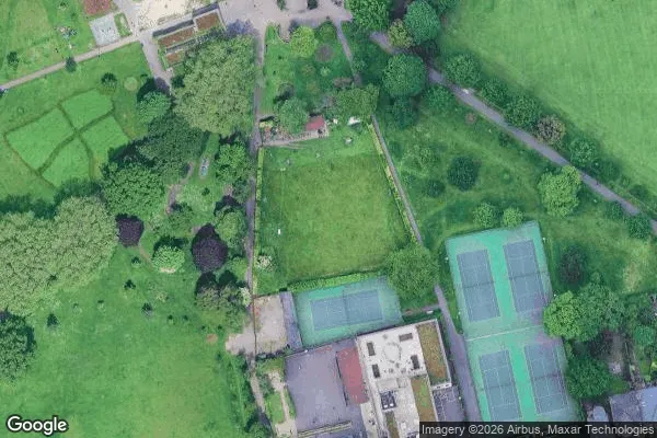
Downs Park Road, Greater London - Coordonnées GPS Urbex
Obtenez la coordonnée GPS exacte de ce lieu abandonné situé dans le département Greater London (England, Spojené království). Spot urbex vérifié et géolocalisé.
Hackney Downs School was an 11–16 boys, community comprehensive secondary school in Lower Clapton, Greater London, England. It was established in 1876 and closed in 1995. It has been replaced by the Mossbourne Community Academy.
0,90EUR
Paiement unique - accès à vie
100% bezpečná platba
AMEX
Google Pay
stripe
Šifrované SSL připojení · Žádné bankovní údaje nejsou uloženy
Ce qui est inclus
- Coordonnée GPS exacte
- Photo satellite du spot
- Accès immédiat après achat