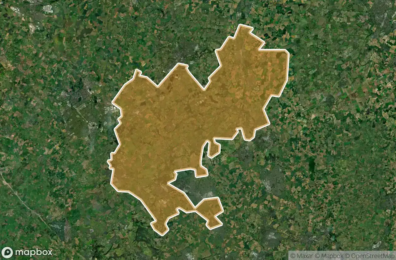
Urbex mapa Central Bedfordshire
21 opuštěná místa v Central Bedfordshire
21
spoty
Jednorázová platba: doživotní přístup
100% bezpečná platba
Šifrované SSL připojení · Žádné bankovní údaje nejsou uloženy
Pravidelné aktualizace dostupné na celý život
Všechna opuštěná místa v Central Bedfordshire
21 ověřené souřadnice GPS v kraji Central Bedfordshire, England, Spojené království.
Hledáte opuštěná místa v Central Bedfordshire, England, Spojené království? Urbex Maps nabízí 21 ověřených GPS souřadnic opuštěných budov v této oblasti, včetně .
21
ověřených míst
GPS
Google Maps, Waze
červen 2026
poslední aktualizace
Kde najít opuštěná místa v Central Bedfordshire?
Opuštěná místa v Central Bedfordshire najdete nejlépe přes interaktivní urbex mapu Urbex Maps s 21 ověřenými GPS souřadnicemi.
Spots v Central Bedfordshire

A4146, Leighton Buzzard

A5130, Woburn

Ampthill

Biggleswade Green Ring, Biggleswade

Dunstable

Greensands Ridge Walk, Clophill

Hitchin Road, Arlesey

Houghton Regis

Leighton Road, Stanbridge

Lower Caldecote, Upper Caldecote

Old Warden Tunnel, Old Warden

Shadows of the Imported Grid

Shadows of the Vector

Silsoe

Some rusy sheds

The Jitty, Aspley Guise

Thorn, Houghton Regis

Trace of the Silent Vector

Traces of Mapped Silence

Traces of the Grid

Tyrrells End, Eversholt