Urbex mapa Saarpfalz Kreis
34 opuštěná místa v Saarpfalz Kreis
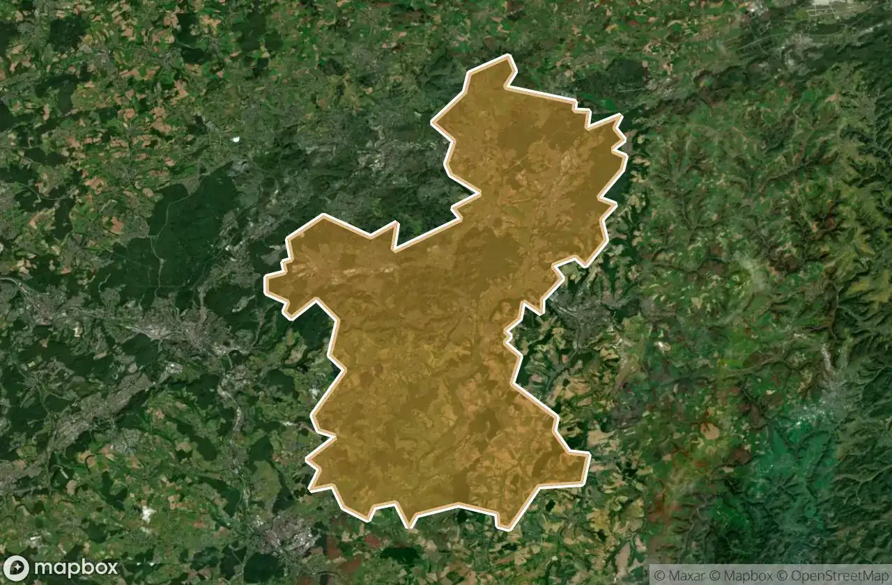
34
spoty
Jednorázová platba: doživotní přístup
100% bezpečná platba
Šifrované SSL připojení · Žádné bankovní údaje nejsou uloženy
Pravidelné aktualizace dostupné na celý život
Témata zahrnutá v tomto balíčku
- Bunkry
- Zriceniny
- Vojenske
Všechna opuštěná místa v Saarpfalz Kreis
34 ověřené souřadnice GPS v kraji Saarpfalz Kreis, Saarland, Německo.
Hledáte opuštěná místa v Saarpfalz Kreis, Saarland, Německo? Urbex Maps nabízí 34 ověřených GPS souřadnic opuštěných budov v této oblasti, včetně Bunkry, Zriceniny, Vojenske.
34
ověřených míst
GPS
Google Maps, Waze
květen 2026
poslední aktualizace
Kde najít opuštěná místa v Saarpfalz Kreis?
Opuštěná místa v Saarpfalz Kreis najdete nejlépe přes interaktivní urbex mapu Urbex Maps s 34 ověřenými GPS souřadnicemi.
Typy opuštěných míst v Saarpfalz Kreis
- Bunkry
- Zriceniny
- Vojenske
Spots v Saarpfalz Kreis

Allmendstraße, Niederwürzbach

Alte Schmelz, Sankt Ingbert

Am Feilbach, Bexbach

Am Gedünner, Homburg

Am Gleisbauhof, Kirkel

Am grauen Bannstein, Heckendalheim

Am grauen Bannstein, Heckendalheim

Artifact of the Transfer

B 423, Webenheim

Blücherstraße, Sankt Ingbert

Friedrichstraße, Reinheim

Gersheim

Im Gräsertal, Limbach

Industriering, Blieskastel

Kirkel

L 102, Riesweiler

Obere Kaiserstraße, Sankt Ingbert

Otto-Walle-Straße, Heckendalheim

Plotting The Silent Void

Robert-Bosch-Straße, Homburg

Robert-Schuman-Straße, Reinheim

Sankt Ingbert

Sankt Ingbert

Sankt Ingbert

St. Ingberter Straße, Heckendalheim

Sulgerhof

The Geometry of Shadows

Traced Beyond the Grid

Traced Beyond the Grid

Traces in the Vector

Traces of the Mesh

Vector of Residual Silence

ehemaliger Bahnhof Jägersburg, Jägersburg

ehm. Gassenmühle


