Urbex mapa Starnberg
19 opuštěná místa v Starnberg
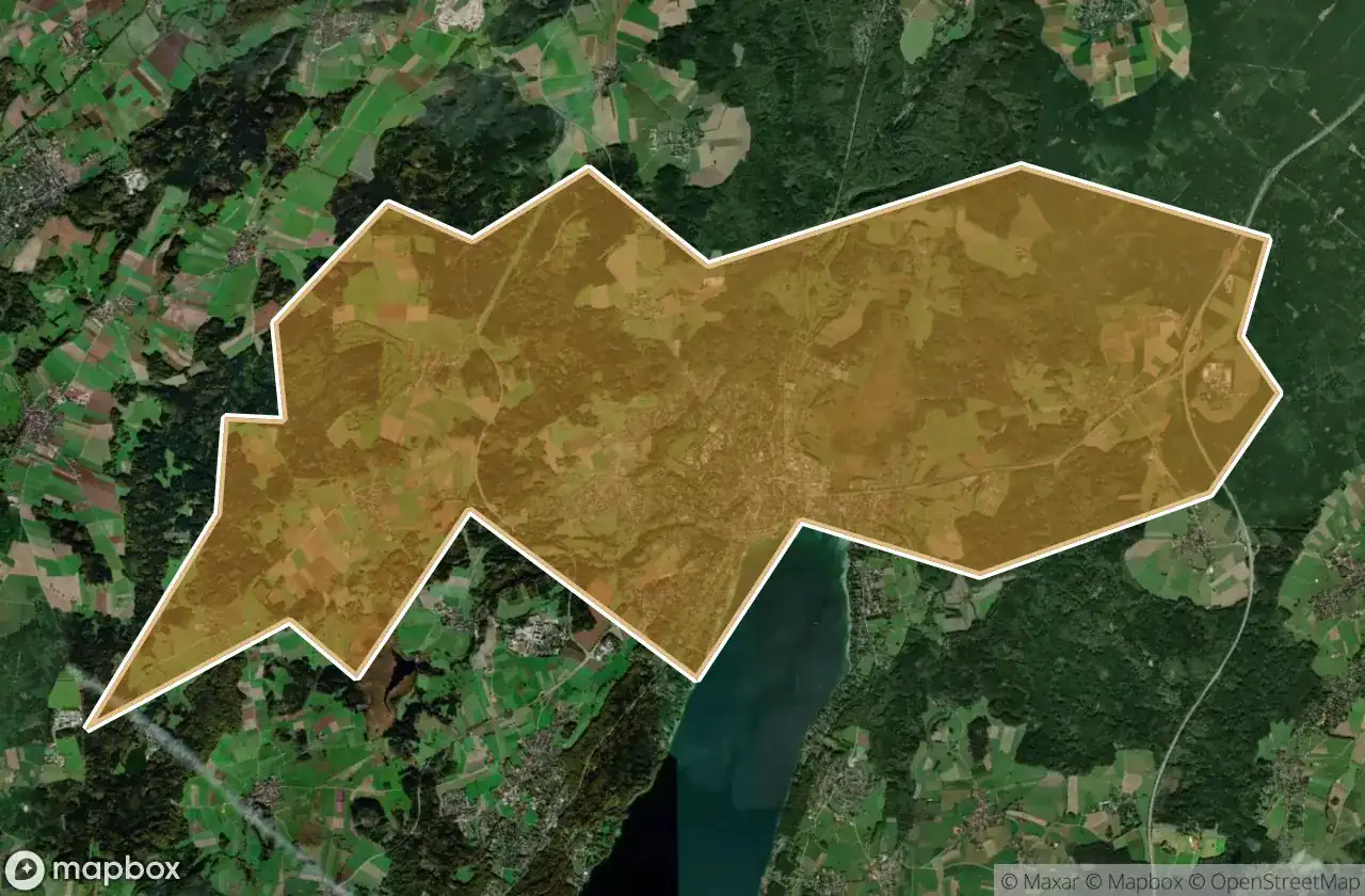
19
spoty
Jednorázová platba: doživotní přístup
100% bezpečná platba
Šifrované SSL připojení · Žádné bankovní údaje nejsou uloženy
Pravidelné aktualizace dostupné na celý život
Témata zahrnutá v tomto balíčku
- Zriceniny
Všechna opuštěná místa v Starnberg
19 ověřené souřadnice GPS v kraji Starnberg, Bayern, Německo.
Hledáte opuštěná místa v Starnberg, Bayern, Německo? Urbex Maps nabízí 19 ověřených GPS souřadnic opuštěných budov v této oblasti, včetně Zriceniny.
19
ověřených míst
GPS
Google Maps, Waze
květen 2026
poslední aktualizace
Kde najít opuštěná místa v Starnberg?
Opuštěná místa v Starnberg najdete nejlépe přes interaktivní urbex mapu Urbex Maps s 19 ověřenými GPS souřadnicemi.
Typy opuštěných míst v Starnberg
- Zriceniny
Spots v Starnberg

Am Bahnhof, Argelsried

Automobile Schütt & Schaupp GmbH

Bahnhofplatz, Starnberg

Inning am Ammersee

Klein-Jerusalem, Königswiesen

Klein-Jerusalem, Königswiesen

Landsberger Straße, Argelsried

Mystical energies / Mystische Energien

Possenhofener Straße, Starnberg

Schlossmauer

Shadows in the Vector

Shadows of the Mapped Ruin

Starnberg

The Geometry of Silence

The Ghost of the Grid

The Vector’s Silent Echo

The forest lodge / Waldgasthof

Traces Of A Silent Node

Tutzing


