Urbex mapa Lorrach
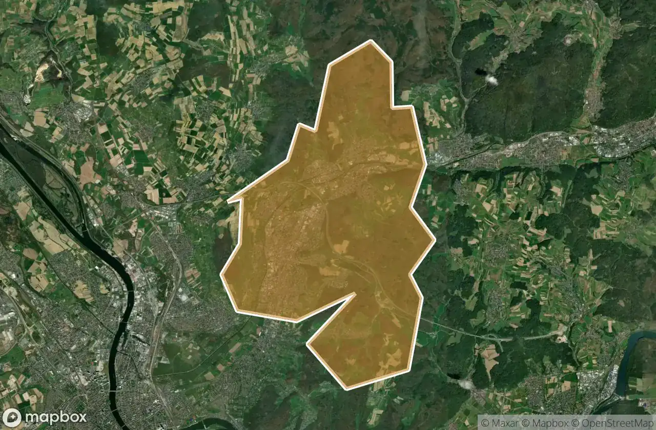
25 opuštěná místa v Lorrach
25
spoty
Jednorázová platba: doživotní přístup
100% bezpečná platba
Šifrované SSL připojení · Žádné bankovní údaje nejsou uloženy
Pravidelné aktualizace dostupné na celý život
Témata zahrnutá v tomto balíčku
- Zriceniny
- Bunkry
- Hrady
- Pevnosti
- Vojenske
- Doly
Všechna opuštěná místa v Lorrach
25 ověřené souřadnice GPS v kraji Lorrach, Baden Wurttemberg, Německo.
Hledáte opuštěná místa v Lorrach, Baden Wurttemberg, Německo? Urbex Maps nabízí 25 ověřených GPS souřadnic opuštěných budov v této oblasti, včetně Zriceniny, Bunkry, Hrady, Pevnosti, Vojenske, Doly.
25
ověřených míst
GPS
Google Maps, Waze
květen 2026
poslední aktualizace
Kde najít opuštěná místa v Lorrach?
Opuštěná místa v Lorrach najdete nejlépe přes interaktivní urbex mapu Urbex Maps s 25 ověřenými GPS souřadnicemi.
Typy opuštěných míst v Lorrach
- Zriceniny
- Bunkry
- Hrady
- Pevnosti
- Vojenske
- Doly
Spots v Lorrach

Altinger Stollen

Am Rötelstein, Wyhlen

B 3, Wintersweiler

Burgruine Rotenburg, Wieslet

Ehner-Fahrnau, Eichen

Feldberg

Gretherstraße, Untertüllingen

K 6347, Rheinweiler

LogSystems GmbH u. Co.KG, Eichen

Neuhausstrasse, Basel

Ruine des Schlageter-Denkmals

Sankt Veit Kapelle, Istein

Sengelenweg, Eichen

Shadows of the Node

Sportplatzstraße, Maulburg

Stockmatt Feriendorf, Wies

The Coordinate Ghost

The Geometry of Absence

The Geometry of Silence

The Imported Silence

The Plotted Absence

Traces in the Digital Void

Traces of a Digital Ghost

Traces of the Plotted Void

Ufhabi, Untertüllingen


