Urbex mapa Rohrbach
29 opuštěná místa v Rohrbach
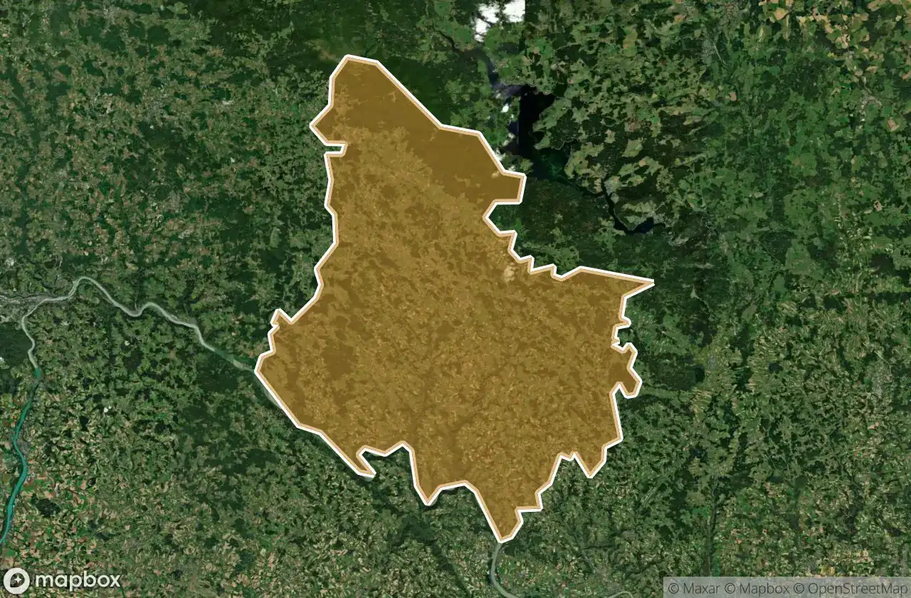
29
spoty
Jednorázová platba: doživotní přístup
100% bezpečná platba
Šifrované SSL připojení · Žádné bankovní údaje nejsou uloženy
Pravidelné aktualizace dostupné na celý život
Témata zahrnutá v tomto balíčku
- Hrady
Všechna opuštěná místa v Rohrbach
29 ověřené souřadnice GPS v kraji Rohrbach, Oberosterreich, Rakousko.
Hledáte opuštěná místa v Rohrbach, Oberosterreich, Rakousko? Urbex Maps nabízí 29 ověřených GPS souřadnic opuštěných budov v této oblasti, včetně Hrady.
29
ověřených míst
GPS
Google Maps, Waze
květen 2026
poslední aktualizace
Kde najít opuštěná místa v Rohrbach?
Opuštěná místa v Rohrbach najdete nejlépe přes interaktivní urbex mapu Urbex Maps s 29 ověřenými GPS souřadnicemi.
Typy opuštěných míst v Rohrbach
- Hrady
Spots v Rohrbach

Breitenstein, Aigen-Schlägl

Brücke 8, Pfarrkirchen im Mühlkreis

Dreisesselbergstraße, Schwarzenberg am Böhmerwald

Exlau, Kirchberg ob der Donau

Glashüttenstraße, Schwarzenberg am Böhmerwald

Hinteranger, Schwarzenberg am Böhmerwald

Karlsbach, Pfarrkirchen im Mühlkreis

Kerschbaum, Aigen-Schlägl

Plankenberg, Neufelden

Plöcking, St. Martin im Mühlkreis

Plöcking, St. Martin im Mühlkreis

Seitelschlag, Ulrichsberg

Shadows of the Fallen Hearth

Shadows of the Forgotten Plot

Shadows of the Grid

The Geometry of Echoes

The Hearth of the Hidden Thicket

The Imported Silent Grid

The Latent Coordinate

The Shadows of Iron Spine

The Silent Coordinate Trace

Traces of a Mapped Void

Traces of the Grid

Untermühl, St. Martin im Mühlkreis

Untermühl, St. Martin im Mühlkreis

Vertices of the Void

Whispers of the Scarlet Thicket

bývalý Otov, Přední Výtoň

ehem. Getreidespeicher, Kirchberg ob der Donau


