Bradford
Urbex mapa Queensbury Tunnel
BradfordEnglandSpojené království
Pravidelné aktualizace dostupné na celý život
Queensbury Tunnel - Coordonnées GPS Urbex
Obtenez la coordonnée GPS exacte de ce lieu abandonné situé dans le département Bradford (England, Spojené království). Spot urbex vérifié et géolocalisé.
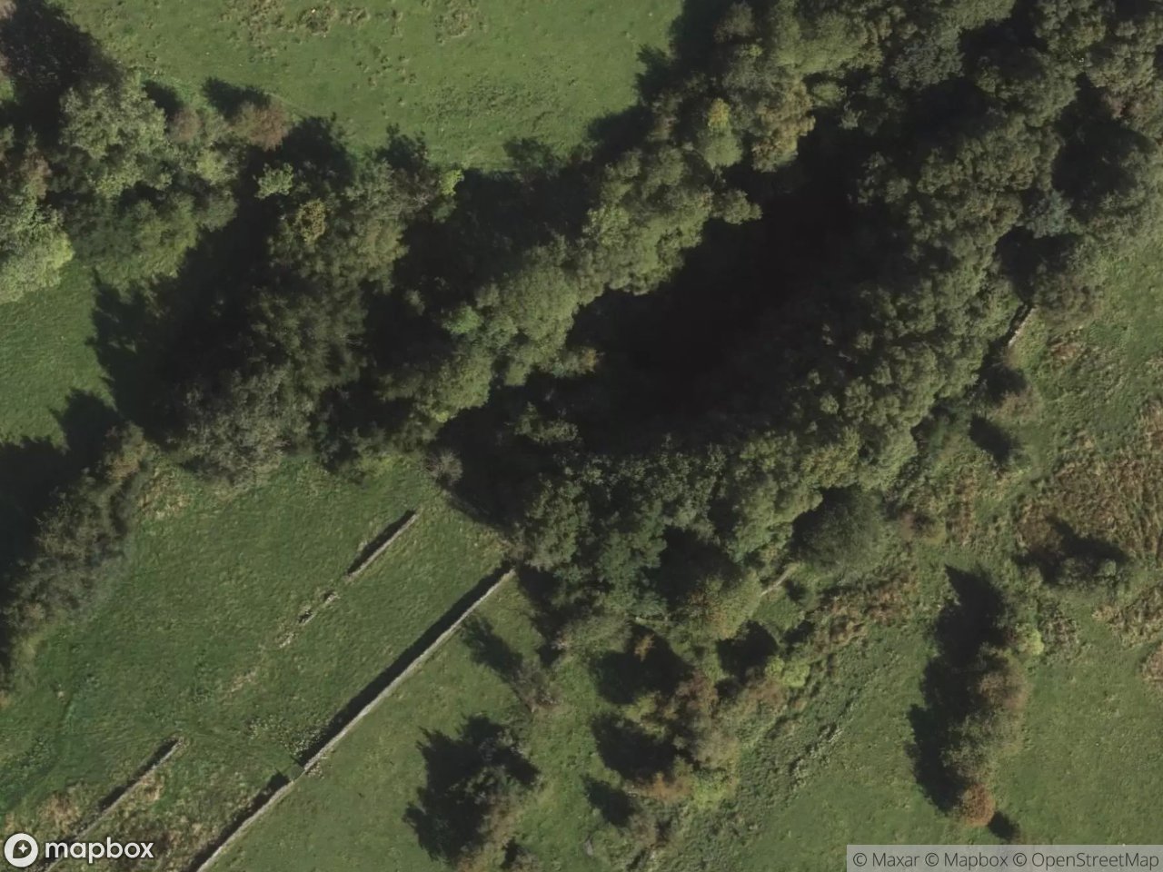
Disused Great Northern Railway tunnel, opened 1878, closed 1956, the longest on its network and now derelict.
0,90EUR
Paiement unique - accès à vie
100% bezpečná platba
AMEX
Google Pay
stripe
Šifrované SSL připojení · Žádné bankovní údaje nejsou uloženy
Ce qui est inclus
- Coordonnée GPS exacte
- Photo satellite du spot
- Accès immédiat après achat
Toto místo se objevuje v těchto článcích

Ce que nos articles disent de ce lieu
The tunnel closed to all traffic on 28 May 1956 and has been disused ever since. Water ingress and two partial collapses, in 2013 and 2014, have left it dramatic and dangerous, knee-deep in water in places. National Highways has long sought to infill it, while the Queensbury Tunnel Society campaigns to reopen it as …Lire l'article : Abandoned Places in the UK: Top 10 Urbex 2026 →